
1926 Map of Ivanhoe
USGS Topo · Published 1926About this map
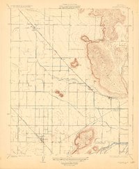
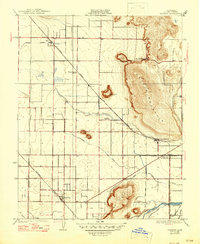
Ivanhoe sits at the junction of the Southern Pacific and Visalia Electric railroads, anchoring an intensive agricultural landscape shaped by a sophisticated irrigation network. This mid-1920s survey details the complex water management systems of the San Joaquin Valley, featuring the Wutchumna Ditch, Tulare Canal, and Packwood Canal as they draw from the St Johns River.
Find a feature on this map
24 named features on this map. Tap any name to fly to it.
Don’t see what you’re looking for? This feature index may not catch every label — zoom into the map to look around manually.
Map Details
Editions of this 1926 Ivanhoe Map
3 editions found
Other maps of this area

1921 · Stokes Mountain
USGS Topo · 1:24,000

1922 · Trimmer
USGS Topo · 1:96,000

1923 · Sultana
USGS Topo · 1:31,680

1924 · Dinuba
USGS Topo · 1:125,000

1924 · Stokes Mountain
USGS Topo · 1:31,680

1925 · Rocky Hill
USGS Topo · 1:31,680

1926 · Exeter
USGS Topo · 1:31,680

1927 · Monson
USGS Topo · 1:31,680

1927 · Rocky Hill
USGS Topo · 1:31,680

1927 · Visalia
USGS Topo · 1:31,680