
1927 Map of Visalia
USGS Topo · Published 1927About this map
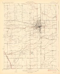
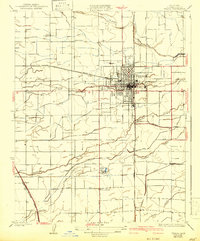
Visalia sits at the heart of an intricate hydraulic landscape in the mid-1920s, where the natural flows of Mill Creek, Packwood Creek, and Cameron Creek are augmented by a dense network of the Tulare Irrigation District. This survey by E.S. Rickard captures the town during its era as a critical hub for the San Joaquin Valley’s citrus and fruit industries. The town is bounded by the Southern Pacific and the Atchison Topeka and Santa Fe railroads, which facilitated the movement of goods from nearby settlements like Tagus and Roma. Outside the growing urban core, the rural community structure is defined by a ring of local educational landmarks including Willow School, Oak Grove School, Highway School, Linwood School, and Liberty School. In the south, the parkland at Mooneys Grove offers a rare preserved space amidst the highly engineered agricultural grid of canals and section lines.
Find a feature on this map
23 named features on this map. Tap any name to fly to it.
Don’t see what you’re looking for? This feature index may not catch every label — zoom into the map to look around manually.
Map Details
Editions of this 1927 Visalia Map
3 editions found
Other maps of this area

1925 · Tulare
USGS Topo · 1:31,680

1926 · Goshen
USGS Topo · 1:31,680

1926 · Ivanhoe
USGS Topo · 1:31,680

1926 · Exeter
USGS Topo · 1:31,680

1927 · Traver
USGS Topo · 1:31,680

1927 · Cairns Corner
USGS Topo · 1:31,680

1927 · Monson
USGS Topo · 1:31,680

1927 · Paige
USGS Topo · 1:31,680

1927 · Tulare
USGS Topo · 1:31,680
1942 · Porterville
USGS Topo · 1:62,500