
1926 Map of Goshen
USGS Topo · Published 1926About this map
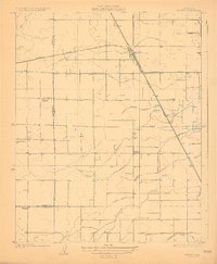
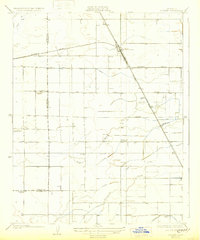
Goshen serves as the central hub of this agricultural landscape in the San Joaquin Valley, positioned at the junction of the Southern Pacific railroad lines. The surrounding terrain is a complex network of irrigation infrastructure essential to the regional economy, featuring numerous named watercourses such as the Mill Creek Ditch, Persian Ditch, and Walson Ditch. These man-made channels diverge from natural waterways like Packwood Creek and the East Fork Mill Creek, illustrating the extensive hydrological engineering required to support the local fields.
Find a feature on this map
19 named features on this map. Tap any name to fly to it.
Don’t see what you’re looking for? This feature index may not catch every label — zoom into the map to look around manually.
Map Details
Editions of this 1926 Goshen Map
3 editions found
Other maps of this area

1925 · Tulare
USGS Topo · 1:31,680

1926 · Burris Park
USGS Topo · 1:31,680

1927 · Traver
USGS Topo · 1:31,680

1927 · Monson
USGS Topo · 1:31,680

1927 · Remnoy
USGS Topo · 1:31,680

1927 · Paige
USGS Topo · 1:31,680

1927 · Visalia
USGS Topo · 1:31,680

1927 · Tulare
USGS Topo · 1:31,680

1928 · Waukena
USGS Topo · 1:31,680
1942 · Corcoran
USGS Topo · 1:62,500