Loading...
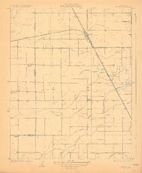
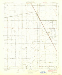
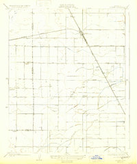
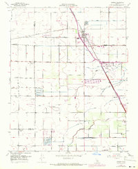
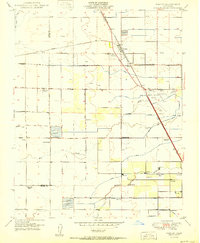
Loading map...1926 Map of Goshen
USGS Topo · Published 1926About this map
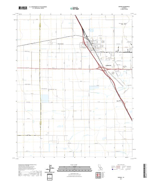
Goshen serves as the central hub of this 1920s agricultural landscape, where the Southern Pacific railroad lines converge at a vital junction for the Central Valley's shipping economy. The map reveals an intricate network of irrigation, including the Mill Creek Ditch, Persian Ditch, and Walson Ditch, which redirected water to sustain the surrounding farmlands. This systematic plumbing of the valley floor transformed the natural drainage of Mill Creek and Packwood Creek into a controlled grid of production.
Find a feature on this map
19 named features on this map. Tap any name to fly to it.
Don’t see what you’re looking for? This feature index may not catch every label — zoom into the map to look around manually.
Map Details
Date Portrayed1926
Date Published1926
PublisherU.S. Geological Survey
Map TypeTopographic
Scale1:31,680
Physical Dimensions16.32 x 19.85 inches
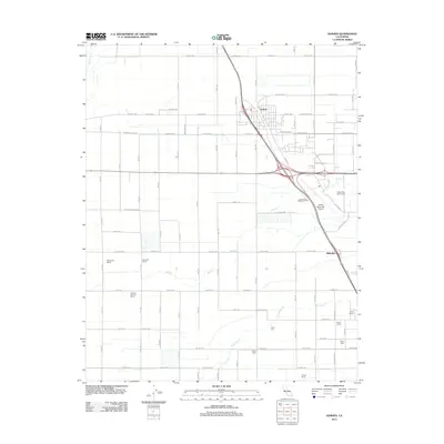
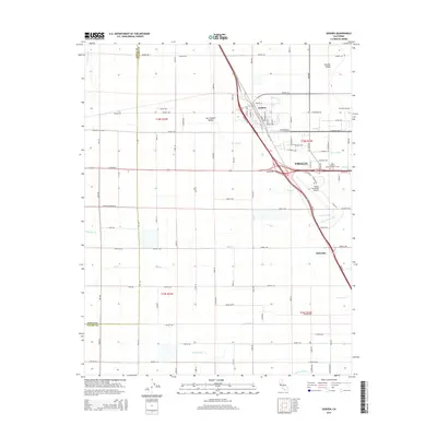
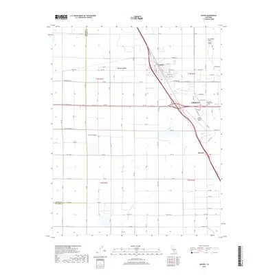
Editions of this 1926 Goshen Map
3 editions found
Historical Maps of Visalia Through Time
7 maps found
Featured Locations
Source Details
SourceU.S. Geological Survey
CopyrightPublic Domain