Loading...
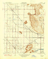
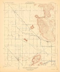
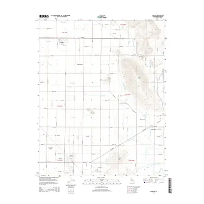
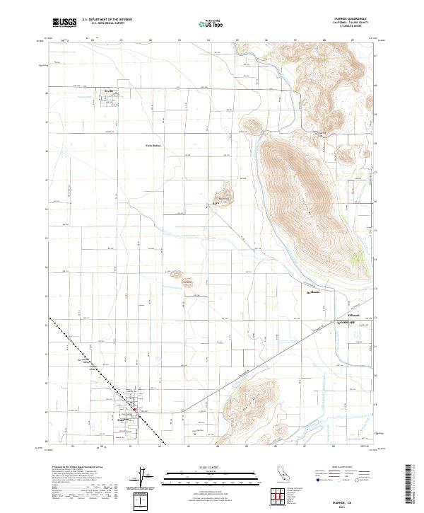
Loading map...1926 Map of Ivanhoe
USGS Topo · Published 1946About this map
Ivanhoe and the surrounding Tulare County landscape are defined by a complex network of irrigation and rail in this mid-1920s survey. The Southern Pacific Railroad and the Atchison Topeka and Santa Fe Railway intersect the valley floor, facilitating the movement of agricultural goods from citrus and field crops. This economic backbone is mirrored by an intricate system of water management including Sontag Ditch, Wutchumna Ditch, and the Packwood Canal, which divert water toward the settlements of Seville and Rayo.
Find a feature on this map
25 named features on this map. Tap any name to fly to it.
Don’t see what you’re looking for? This feature index may not catch every label — zoom into the map to look around manually.
Map Details
Date Portrayed1926
Date Published1946
PublisherU.S. Geological Survey
Map TypeTopographic
Scale1:31,680
Physical Dimensions17 x 20.7 inches
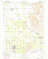
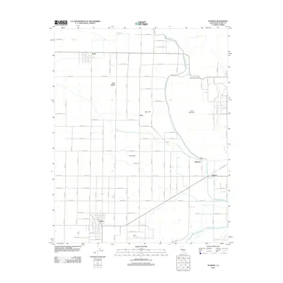
Editions of this 1926 Ivanhoe Map
3 editions found

Historical Maps of Woodlake Through Time
6 maps found

Featured Locations
Source Details
SourceU.S. Geological Survey
CopyrightPublic Domain