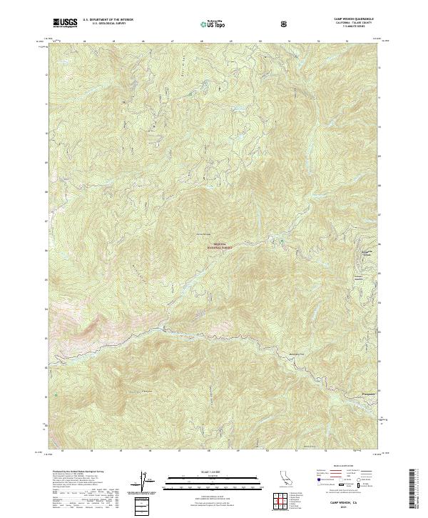
2021 Map of Camp Wishon
USGS Topo · Published 2021About this map
The Sequoia National Forest dominates this section of the Sierra Nevada, where the drainage of the Middle Fork Tule River and its various forks carve deep into the terrain. High-altitude landmarks like Deer Ridge and Bateman Ridge define the vertical relief, while specific features like Mahogany Flat and Hossack Meadow offer breaks in the steep landscape. The presence of a Copper Mine near the northern boundary and the Hedrick Mill Pond suggests a history of resource extraction and water management in these mountains.
Find a feature on this map
40 named features on this map. Tap any name to fly to it.
Don’t see what you’re looking for? This feature index may not catch every label — zoom into the map to look around manually.
Map Details
Editions of this 2021 Camp Wishon Map
This is the sole edition of this map. No revisions or reprints were ever made.
Other maps of this area

1904 · Kaweah
USGS Topo · 1:125,000

1909 · Kaweah
USGS Topo · 1:125,000

1937 · Kaweah
USGS Topo · 1:125,000

1948 · Fresno
USGS Topo · 1:250,000

1955 · Fresno
USGS Topo · 1:250,000

1956 · Fresno
USGS Topo · 1:250,000
1956 · Globe
USGS Topo · 1:24,000

1956 · Mineral King
USGS Topo · 1:62,500
1956 · Camp Nelson
USGS Topo · 1:62,500
1957 · Kaweah
USGS Topo · 1:62,500