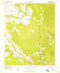
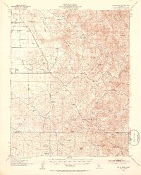
1956 Map of Globe
USGS Topo · Published 1957About this map
The Tule River valley in the mid-1950s is defined by its transition from agricultural valley floor to the foothills of the Sequoia National Forest. The small settlement of Globe sits along the Tule River, served by the Old Railroad Grade and the Moore-Witt Road, while nearby Graham occupies the higher ground to the east. This period shows a landscape shaped by water management and resource extraction, with numerous labels for Ditch irrigation systems and scattered prospects and shafts dotting the hillsides.
Find a feature on this map
45 named features on this map. Tap any name to fly to it.
Don’t see what you’re looking for? This feature index may not catch every label — zoom into the map to look around manually.
Map Details
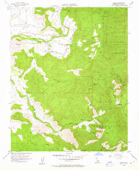
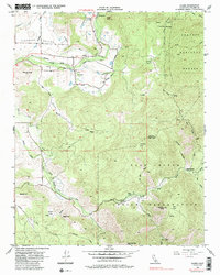
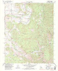
Editions of this 1956 Globe Map
4 editions found
Other maps of this area

1904 · Kaweah
USGS Topo · 1:125,000

1909 · Kaweah
USGS Topo · 1:125,000

1936 · White River
USGS Topo · 1:62,500

1936 · Tobias Peak
USGS Topo · 1:125,000

1937 · Kaweah
USGS Topo · 1:125,000

1943 · Tobias Peak
USGS Topo · 1:125,000

1945 · Tobias Peak
USGS Topo · 1:62,500

1948 · Bakersfield
USGS Topo · 1:250,000

1948 · Fresno
USGS Topo · 1:250,000
1952 · White River
USGS Topo · 1:62,500