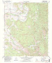
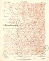
1956 Map of Globe
USGS Topo · Published 1985About this map
Globe and Graham sit within the drainage of the Tule River during the mid-1950s, a landscape defined by water management and early transportation routes. The presence of the Old Railroad Grade north of the river suggests a shift in the local economy, while the extensive irrigation network including Pleasant Valley Ditch and Mt Whitney Ditch highlights the agricultural foundations of Pleasant Valley. To the south, the terrain rises toward Cow Mtn and Oak Flat Peak 2734, marking the boundary of the Indian Reservation.
Find a feature on this map
51 named features on this map. Tap any name to fly to it.
Don’t see what you’re looking for? This feature index may not catch every label — zoom into the map to look around manually.
Map Details
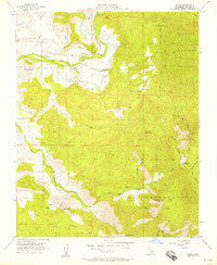
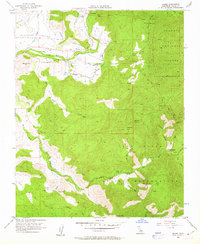
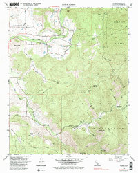
Editions of this 1956 Globe Map
4 editions found
Other maps of this area

1904 · Kaweah
USGS Topo · 1:125,000

1909 · Kaweah
USGS Topo · 1:125,000

1936 · White River
USGS Topo · 1:62,500

1936 · Tobias Peak
USGS Topo · 1:125,000

1937 · Kaweah
USGS Topo · 1:125,000

1943 · Tobias Peak
USGS Topo · 1:125,000

1945 · Tobias Peak
USGS Topo · 1:62,500

1948 · Bakersfield
USGS Topo · 1:250,000

1948 · Fresno
USGS Topo · 1:250,000
1952 · White River
USGS Topo · 1:62,500