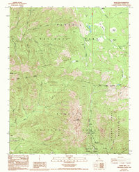
1988 Map of Moses Mtn
USGS Topo · Published 1994About this map
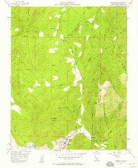
Kaweah Grove and Garfield Grove stand as prominent natural landmarks in this high-altitude landscape where the headwaters of the South Fork Kaweah River and Tule River originate. The topography is dominated by massive ridges, including South Fork Ridge and Dennison Ridge, which carve out deep drainages like Snowslide Canyon. This 1988 survey documents the complex administrative boundaries of the Southern Sierra, where Sequoia National Park meets the Sequoia National Forest and Mountain Home State Forest. Small pockets of high-country meadows, such as Hockett Meadows and Mitchell Meadow, provide rare level ground amidst the steep slopes of Moses Mountain. The southern portion of the map highlights recreational infrastructure like the Hidden Falls Campground, situated near the confluence of several mountain creeks in the state forest territory.
Find a feature on this map
42 named features on this map. Tap any name to fly to it.
Don’t see what you’re looking for? This feature index may not catch every label — zoom into the map to look around manually.
Map Details
Editions of this 1988 Moses Mtn Map
2 editions found
Other maps of this area

1904 · Kaweah
USGS Topo · 1:125,000

1909 · Kaweah
USGS Topo · 1:125,000

1937 · Kaweah
USGS Topo · 1:125,000

1948 · Fresno
USGS Topo · 1:250,000

1955 · Fresno
USGS Topo · 1:250,000

1956 · Fresno
USGS Topo · 1:250,000

1956 · Mineral King
USGS Topo · 1:62,500
1956 · Camp Nelson
USGS Topo · 1:62,500
1957 · Kaweah
USGS Topo · 1:62,500
1957 · Springville
USGS Topo · 1:24,000