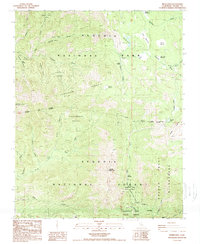
1988 Map of Moses Mtn
USGS Topo · Published 1988About this map
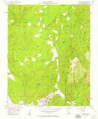
Sequoia National Park and the adjacent Mountain Home State Forest dominate this high-altitude landscape in late 1980s Tulare County. The terrain is defined by its massive sequoia stands, including Kaweah Grove, Garfield Grove, and the Dillonwood Grove, linked by a complex drainage network where the South Fork Kaweah River flows near Snowslide Canyon. Central to the map is Dennison Ridge, a prominent landform stretching toward Dennison Mountain. Further south, the headwaters of the Middle Fork Tule River and North Fork Tule River converge near the Hidden Falls Campground. This survey illustrates the intricate boundaries between national park, national forest, and the Golden Trout Wilderness, capturing a protected wilderness before modern digital mapping became standard.
Find a feature on this map
42 named features on this map. Tap any name to fly to it.
Don’t see what you’re looking for? This feature index may not catch every label — zoom into the map to look around manually.
Map Details
Editions of this 1988 Moses Mtn Map
2 editions found
Other maps of this area

1904 · Kaweah
USGS Topo · 1:125,000

1909 · Kaweah
USGS Topo · 1:125,000

1937 · Kaweah
USGS Topo · 1:125,000

1948 · Fresno
USGS Topo · 1:250,000

1955 · Fresno
USGS Topo · 1:250,000

1956 · Fresno
USGS Topo · 1:250,000

1956 · Mineral King
USGS Topo · 1:62,500
1956 · Camp Nelson
USGS Topo · 1:62,500
1957 · Kaweah
USGS Topo · 1:62,500
1957 · Springville
USGS Topo · 1:24,000