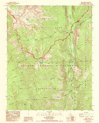
1988 Map of Kern Lake
USGS Topo · Published 1994About this map
The Great Western Divide defines the high-altitude landscape of this 1980s survey, where the drainages of the Kern River and Little Kern River converge. The topography is anchored by the deep Kern Canyon, which contains both Kern Lake and Little Kern Lake. Human presence is minimal and concentrated around the Kern Canyon Ranger Station and Soda Spring, reflecting the area's protected status within the Sequoia National Park and the Golden Trout Wilderness.
Find a feature on this map
38 named features on this map. Tap any name to fly to it.
Don’t see what you’re looking for? This feature index may not catch every label — zoom into the map to look around manually.
Map Details
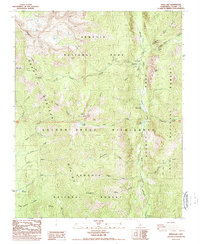
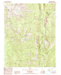
Editions of this 1988 Kern Lake Map
3 editions found
Other maps of this area

1904 · Kaweah
USGS Topo · 1:125,000

1905 · Olancha
USGS Topo · 1:125,000

1907 · Olancha
USGS Topo · 1:125,000

1909 · Kaweah
USGS Topo · 1:125,000

1937 · Kaweah
USGS Topo · 1:125,000

1948 · Fresno
USGS Topo · 1:250,000

1955 · Fresno
USGS Topo · 1:250,000

1956 · Fresno
USGS Topo · 1:250,000

1956 · Hockett Peak
USGS Topo · 1:62,500

1956 · Mineral King
USGS Topo · 1:62,500