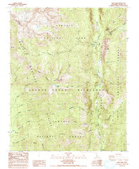
1988 Map of Kern Lake
USGS Topo · Published 1993About this map
The Great Western Divide dominates this high-altitude landscape in the southern Sierra Nevada, where the High Sierra meets the deep incision of Kern Canyon. At the heart of the Golden Trout Wilderness, the Kern River flows through a series of natural basins including Kern Lake and Little Kern Lake, areas shaped by massive geologic movements. The remote character of the late 20th century is evident in the sparse human markers, limited to the Kern Canyon Ranger Station and isolated high-country outposts like Lion Meadows. Evidence of the area's volcanic history is preserved at Volcano Falls near Golden Trout Creek. The terrain is defined by dramatic elevation changes, from the heights of Angora Mountain and Coyote Peaks down to the alluvial floors of Grasshopper Flat. Researchers can trace the network of alpine drainages such as Hell For Sure Creek and Leggett Creek as they existed before modern environmental shifts.
Find a feature on this map
34 named features on this map. Tap any name to fly to it.
Don’t see what you’re looking for? This feature index may not catch every label — zoom into the map to look around manually.
Map Details
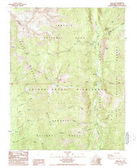
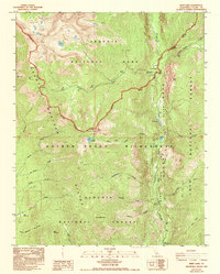
Editions of this 1988 Kern Lake Map
3 editions found
Other maps of this area

1904 · Kaweah
USGS Topo · 1:125,000

1905 · Olancha
USGS Topo · 1:125,000

1907 · Olancha
USGS Topo · 1:125,000

1909 · Kaweah
USGS Topo · 1:125,000

1937 · Kaweah
USGS Topo · 1:125,000

1948 · Fresno
USGS Topo · 1:250,000

1955 · Fresno
USGS Topo · 1:250,000

1956 · Fresno
USGS Topo · 1:250,000

1956 · Hockett Peak
USGS Topo · 1:62,500

1956 · Mineral King
USGS Topo · 1:62,500