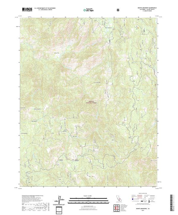
2021 Map of Bonita Meadows
USGS Topo · Published 2021About this map
Sequoia National Forest encompasses this high-elevation landscape within the Sierra Nevada range, characterized by a dense network of mountain meadows and seasonal drainages. The area is defined by its topographic diversity, from the prominent heights of Lookout Mtn and Bald Mtn to the low reaches of Dark Canyon. Historically significant grazing and camp sites are scattered throughout, including Beach Meadows, Bonita Meadows, and Curliss Meadow.
Find a feature on this map
27 named features on this map. Tap any name to fly to it.
Don’t see what you’re looking for? This feature index may not catch every label — zoom into the map to look around manually.
Map Details
Editions of this 2021 Bonita Meadows Map
This is the sole edition of this map. No revisions or reprints were ever made.
Other maps of this area

1905 · Olancha
USGS Topo · 1:125,000

1905 · Fairview
USGS Topo · 1:24,000

1906 · Kernville
USGS Topo · 1:125,000

1907 · Olancha
USGS Topo · 1:125,000

1908 · Kernville
USGS Topo · 1:125,000

1918 · Fairview
USGS Topo · 1:31,680

1948 · Bakersfield
USGS Topo · 1:250,000

1948 · Fresno
USGS Topo · 1:250,000

1955 · Bakersfield
USGS Topo · 1:250,000

1955 · Fresno
USGS Topo · 1:250,000