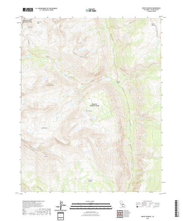
2022 Map of Mount Kaweah
USGS Topo · Published 2022About this map
Mt Kaweah stands as the central topographic focal point of this high-altitude survey, situated where the Kaweah Peaks Ridge meets the Kaweah Basin. The terrain is defined by the sharp divide between Sequoia National Park and Kings Canyon National Park, with the Great Western Divide marking the western boundary. A complex drainage system feeds into the Kern Wild and Scenic River, which carves a deep path through the eastern portion of the map.
Find a feature on this map
37 named features on this map. Tap any name to fly to it.
Don’t see what you’re looking for? This feature index may not catch every label — zoom into the map to look around manually.
Map Details
Editions of this 2022 Mount Kaweah Map
This is the sole edition of this map. No revisions or reprints were ever made.
Other maps of this area

1903 · Tehipite
USGS Topo · 1:125,000

1904 · Kaweah
USGS Topo · 1:125,000

1905 · Tehipite
USGS Topo · 1:125,000

1905 · Olancha
USGS Topo · 1:125,000

1907 · Olancha
USGS Topo · 1:125,000

1907 · Mt. Whitney
USGS Topo · 1:125,000

1909 · Kaweah
USGS Topo · 1:125,000

1919 · Mt. Whitney
USGS Topo · 1:125,000

1937 · Mt. Whitney
USGS Topo · 1:125,000

1937 · Kaweah
USGS Topo · 1:125,000