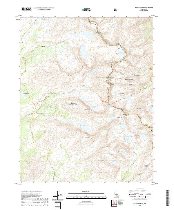
2021 Map of Mount Whitney
USGS Topo · Published 2021About this map
Mt Whitney stands as the central landmark of this high-altitude survey, straddling the boundary between Sequoia National Park and the Inyo National Forest. The map documents the intricate network of alpine trails used by hikers and mountaineers, including the Mount Whitney Trl and the Pacific Crest National Scenic Trl, which winds through Crabtree Meadow. The terrain is defined by extreme elevations and numerous named peaks such as Mt Muir, Keeler Needle, and Mt Russell.
Find a feature on this map
83 named features on this map. Tap any name to fly to it.
Don’t see what you’re looking for? This feature index may not catch every label — zoom into the map to look around manually.
Map Details
Editions of this 2021 Mount Whitney Map
This is the sole edition of this map. No revisions or reprints were ever made.
Other maps of this area

1905 · Olancha
USGS Topo · 1:125,000

1907 · Olancha
USGS Topo · 1:125,000

1907 · Mt. Whitney
USGS Topo · 1:125,000

1919 · Mt. Whitney
USGS Topo · 1:125,000

1937 · Mt. Whitney
USGS Topo · 1:125,000

1948 · Fresno
USGS Topo · 1:250,000

1955 · Fresno
USGS Topo · 1:250,000

1956 · Fresno
USGS Topo · 1:250,000

1956 · Mount Whitney
USGS Topo · 1:62,500

1956 · Olancha
USGS Topo · 1:62,500