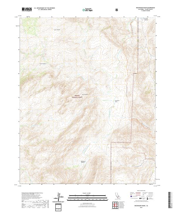
2021 Map of Rockhouse Basin
USGS Topo · Published 2021About this map
The Kern Wild And Scenic River flows southward through the heart of the Sierra Nevada within the high-elevation terrain of the Sequoia National Forest. This protected wilderness landscape is defined by its dramatic drainage basins and seasonal grazing grounds, including Lunch Meadow and Smith Meadow in the northern reaches. The area is a significant corridor for high-country travel, anchored by the Pacific Crest National Scenic Trl which follows the ridges east of the river canyon. Further south, the terrain opens into the namesake Rockhouse Basin and Rockhouse Meadow, where the Rockhouse Basin Trl provides access to the confluence of Tibbets Cr and Fish Cr. The drainage patterns, including Trout Cr and Muncy Cr, illustrate the complex hydrology of the eastern Tulare County mountains.
Find a feature on this map
20 named features on this map. Tap any name to fly to it.
Don’t see what you’re looking for? This feature index may not catch every label — zoom into the map to look around manually.
Map Details
Editions of this 2021 Rockhouse Basin Map
This is the sole edition of this map. No revisions or reprints were ever made.
Other maps of this area

1905 · Olancha
USGS Topo · 1:125,000

1906 · Kernville
USGS Topo · 1:125,000

1907 · Olancha
USGS Topo · 1:125,000

1908 · Kernville
USGS Topo · 1:125,000

1948 · Bakersfield
USGS Topo · 1:250,000

1948 · Fresno
USGS Topo · 1:250,000

1955 · Bakersfield
USGS Topo · 1:250,000

1955 · Fresno
USGS Topo · 1:250,000

1956 · Bakersfield
USGS Topo · 1:250,000

1956 · Fresno
USGS Topo · 1:250,000