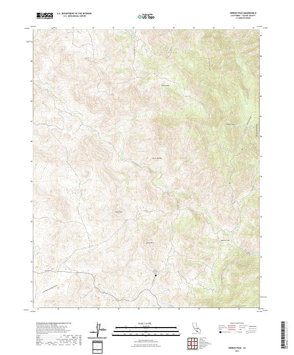
2021 Map of Gibbon Peak
USGS Topo · Published 2021About this map
Galley Mountain Cem sits centrally in this southern Tulare County terrain, serving as a significant landmark for local family historians. The landscape is defined by the high elevations of Gibbon Peak and Buck Peak, with the deep incisions of Gibbon Canyon and Street Canyon draining the slopes. Water is a primary driver of the local topography, with Deer Cr and Pothole Cr carving through the granite and brush.
Find a feature on this map
28 named features on this map. Tap any name to fly to it.
Don’t see what you’re looking for? This feature index may not catch every label — zoom into the map to look around manually.
Map Details
Editions of this 2021 Gibbon Peak Map
This is the sole edition of this map. No revisions or reprints were ever made.
Other maps of this area

1904 · Kaweah
USGS Topo · 1:125,000

1909 · Kaweah
USGS Topo · 1:125,000

1926 · Quincy School
USGS Topo · 1:31,680

1929 · Quincy School
USGS Topo · 1:31,680

1936 · White River
USGS Topo · 1:62,500

1936 · Tobias Peak
USGS Topo · 1:125,000

1937 · Kaweah
USGS Topo · 1:125,000

1943 · Tobias Peak
USGS Topo · 1:125,000

1945 · Tobias Peak
USGS Topo · 1:62,500

1948 · Bakersfield
USGS Topo · 1:250,000