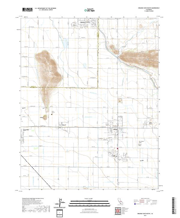
2021 Map of Orange Cove South
USGS Topo · Published 2021About this map
The agricultural landscape of the San Joaquin Valley is defined by a complex network of irrigation infrastructure and rural settlements south of Orange Cove. This area of Tulare County reveals a grid of orchards and vineyards sustained by numerous watercourses, including the prominent Friant-Kern Canal and the Alta Br Canal. These man-made channels are interspersed with natural features like Smith Mtn and Barris Hill, which rise above the surrounding valley floor.
Find a feature on this map
79 named features on this map. Tap any name to fly to it.
Don’t see what you’re looking for? This feature index may not catch every label — zoom into the map to look around manually.
Map Details
Editions of this 2021 Orange Cove South Map
This is the sole edition of this map. No revisions or reprints were ever made.
Other maps of this area

1921 · Squaw Valley
USGS Topo · 1:31,680

1921 · Stokes Mountain
USGS Topo · 1:24,000

1922 · Trimmer
USGS Topo · 1:96,000

1923 · Sultana
USGS Topo · 1:31,680

1923 · Wahtoke
USGS Topo · 1:31,680

1924 · Reedley
USGS Topo · 1:31,680

1924 · Citrus Cove
USGS Topo · 1:31,680

1924 · Dinuba
USGS Topo · 1:125,000

1924 · Stokes Mountain
USGS Topo · 1:31,680

1926 · Ivanhoe
USGS Topo · 1:31,680