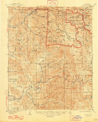
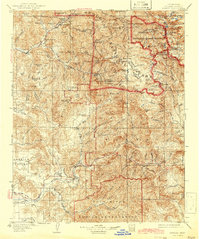
1909 Map of Kaweah
USGS Topo · Published 1948About this map
The Sequoia National Park border cuts through this landscape, dividing the high Sierra wilderness from the expanding settlements in the western foothills. The Kaweah River dominates the drainage system, with its North, Middle, South, and East Forks converging near Three Rivers and Hammond. This confluence illustrates a traditional mountain settlement pattern where early communities clustered at the base of steep canyons before the terrain becomes impassable to the east.
Find a feature on this map
167 named features on this map. Tap any name to fly to it.
Don’t see what you’re looking for? This feature index may not catch every label — zoom into the map to look around manually.
Map Details
Editions of this 1909 Kaweah Map
7 editions found

Other maps of this area

1903 · Tehipite
USGS Topo · 1:125,000

1904 · Kaweah
USGS Topo · 1:125,000

1905 · Tehipite
USGS Topo · 1:125,000

1905 · Olancha
USGS Topo · 1:125,000

1905 · Fairview
USGS Topo · 1:24,000

1906 · Kernville
USGS Topo · 1:125,000

1907 · Olancha
USGS Topo · 1:125,000

1907 · Mt. Whitney
USGS Topo · 1:125,000

1908 · Kernville
USGS Topo · 1:125,000

1909 · Kaweah
USGS Topo · 1:125,000