
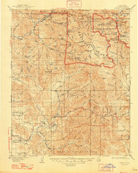
1909 Map of Kaweah
USGS Topo · Published 1926About this map
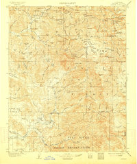
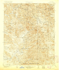
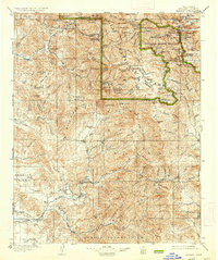
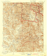
Mineral King sits high in the Sierra Nevada, surrounded by the peaks of the Great Western Divide and the jagged Sawtooth Peak. This early twentieth-century survey captures a landscape at the intersection of industry and preservation, where the high country timber and mineral prospects of Atwells Mill and Dillon Mill meet the expanding boundaries of Sequoia National Park. To the west, the valleys are defined by an intricate network of irrigation, featuring the Whitney Ditch, Pioneer Ditch, and Plano DITCH which sustained settlements like Springville and Success.
Find a feature on this map
153 named features on this map. Tap any name to fly to it.
Don’t see what you’re looking for? This feature index may not catch every label — zoom into the map to look around manually.
Map Details
Editions of this 1909 Kaweah Map
7 editions found
Other maps of this area

1903 · Tehipite
USGS Topo · 1:125,000

1904 · Kaweah
USGS Topo · 1:125,000

1905 · Tehipite
USGS Topo · 1:125,000

1905 · Olancha
USGS Topo · 1:125,000

1905 · Fairview
USGS Topo · 1:24,000

1906 · Kernville
USGS Topo · 1:125,000

1907 · Olancha
USGS Topo · 1:125,000

1907 · Mt. Whitney
USGS Topo · 1:125,000

1908 · Kernville
USGS Topo · 1:125,000

1909 · Kaweah
USGS Topo · 1:125,000