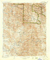
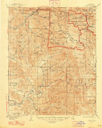
1909 Map of Kaweah
USGS Topo · Published 1934About this map
Mineral King and the early reaches of Sequoia National Park dominate this 1902 survey, which captures the Sierra Nevada foothills and high peaks before the era of widespread automobile access. The landscape is a network of alpine basins and river forks, with the Kaweah River and Tule River systems carving deep canyons through the terrain. Human presence is marked by isolated outposts like Milk Ranch and several strategic monitoring points including the Park Headquarters and Hockett Ranger Station.
Find a feature on this map
149 named features on this map. Tap any name to fly to it.
Don’t see what you’re looking for? This feature index may not catch every label — zoom into the map to look around manually.
Map Details
Editions of this 1909 Kaweah Map
7 editions found
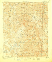
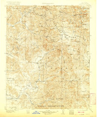

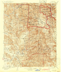
Other maps of this area

1903 · Tehipite
USGS Topo · 1:125,000

1904 · Kaweah
USGS Topo · 1:125,000

1905 · Tehipite
USGS Topo · 1:125,000

1905 · Olancha
USGS Topo · 1:125,000

1905 · Fairview
USGS Topo · 1:24,000

1906 · Kernville
USGS Topo · 1:125,000

1907 · Olancha
USGS Topo · 1:125,000

1907 · Mt. Whitney
USGS Topo · 1:125,000

1908 · Kernville
USGS Topo · 1:125,000

1909 · Kaweah
USGS Topo · 1:125,000