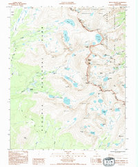
1993 Map of Mount Whitney
USGS Topo · Published 1994About this map
Mount Whitney stands as the central landmark of this high-altitude survey, marking the dramatic boundary between Sequoia National Park and the Inyo National Forest. The map documents the intricate alpine topography of the Sierra Crest during the early 1990s, where the John Muir Trail and Lone Pine Trail converge at the Trail Crest pass. This region is a sanctuary for unique wildlife, highlighted by the designated Bighorn Sheep Zoological Area to the north.
Find a feature on this map
69 named features on this map. Tap any name to fly to it.
Don’t see what you’re looking for? This feature index may not catch every label — zoom into the map to look around manually.
Map Details
Editions of this 1993 Mount Whitney Map
2 editions found
Other maps of this area

1905 · Olancha
USGS Topo · 1:125,000

1907 · Olancha
USGS Topo · 1:125,000

1907 · Mt. Whitney
USGS Topo · 1:125,000

1919 · Mt. Whitney
USGS Topo · 1:125,000

1937 · Mt. Whitney
USGS Topo · 1:125,000

1948 · Fresno
USGS Topo · 1:250,000

1955 · Fresno
USGS Topo · 1:250,000

1956 · Fresno
USGS Topo · 1:250,000

1956 · Mount Whitney
USGS Topo · 1:62,500

1956 · Olancha
USGS Topo · 1:62,500