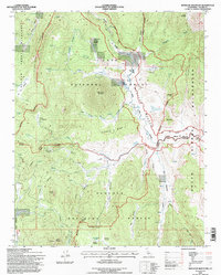
1994 Map of Monache Mountain
USGS Topo · Published 1997About this map
Monache Mountain dominates this high-altitude landscape where the Inyo National Forest meets the Sequoia National Forest. The geography is defined by a vast network of hydrologic features and high-country meadows, most notably the South Fork Kern River which snakes through the Golden Trout Wilderness. Geologic interest is found at Olivas Spring (Fumarole), signaling the volcanic history of the region near Bakeoven Meadow. Transport and utility markers like the Landing Strip and Gaging Station indicate the remote but managed nature of this wilderness during the late twentieth century. Peaks such as Jackass Peak and Smith Peak provide landmarks for navigating the complex drainage systems of Jackass Creek and Soda Creek, while various Corral sites point to the area's history of backcountry ranching and stock management.
Find a feature on this map
54 named features on this map. Tap any name to fly to it.
Don’t see what you’re looking for? This feature index may not catch every label — zoom into the map to look around manually.
Map Details
Editions of this 1994 Monache Mountain Map
This is the sole edition of this map. No revisions or reprints were ever made.
Other maps of this area

1905 · Olancha
USGS Topo · 1:125,000

1907 · Olancha
USGS Topo · 1:125,000

1948 · Fresno
USGS Topo · 1:250,000

1955 · Fresno
USGS Topo · 1:250,000

1956 · Fresno
USGS Topo · 1:250,000

1956 · Hockett Peak
USGS Topo · 1:62,500
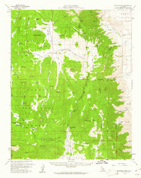
1956 · Monache Mtn
USGS Topo · 1:62,500

1956 · Olancha
USGS Topo · 1:62,500
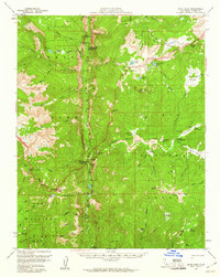
1956 · Kern Peak
USGS Topo · 1:62,500

1958 · Fresno
USGS Topo · 1:250,000