2000s (21st Century) Maps of Moorpark, California
Explore 8 historic maps of Moorpark from the 2000s (21st Century). These maps offer a rare glimpse into what life looked like during the 2000s — showing old roads, neighborhoods, homes, and landmarks that have changed or disappeared over time.
Whether you're researching your family's past, planning a metal detecting trip, or studying how Moorpark's landscape evolved across the 2000s, these high-resolution maps are a powerful tool for exploring the history of this region.
- Focus on a specific era: All maps on this page are from the 2000s, giving you a focused view of this time period.
- See what’s changed: Compare century-old streets, trails, and buildings to today's modern landscape using overlays and satellite layers.
- Research with precision: Use these maps for genealogy, historical research, land use analysis, or educational projects.
- View, download, or print: Maps are fully viewable online in high resolution, and can be downloaded or printed for your own records.
Start exploring Moorpark's history through authentic maps from the 2000s. This is your window into the past.
Moorpark, CA maps
(8)- 2012 Map of Moorpark, 2012 Print
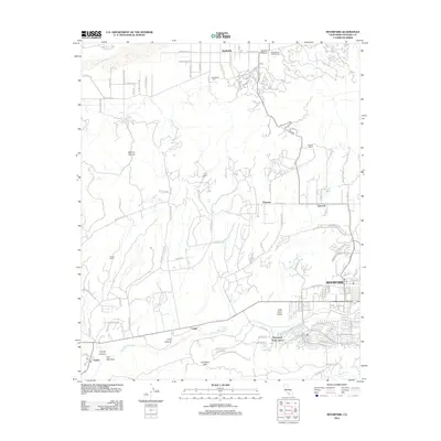 2012 Moorpark2012 Print · USGSCovers Moorpark, including Somis, Fairview, and other nearby areas
 - 2012 Map of Simi Valley West, 2012 Print
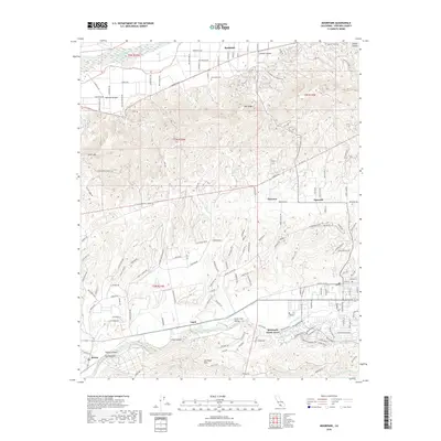
 2012 Simi Valley West2012 Print · USGSCovers Moorpark, including Thousand Oaks, Simi Valley, and other nearby areas
 - 2015 Map of Simi Valley West, 2015 Print
 2015 Simi Valley West2015 Print · USGSCovers Moorpark, including Thousand Oaks, Simi Valley, and other nearby areas
 - 2015 Map of Moorpark, 2015 Print
 2015 Moorpark2015 Print · USGSCovers Moorpark, including Somis, Fairview, and other nearby areas
 - 2018 Map of Moorpark, 2018 Print
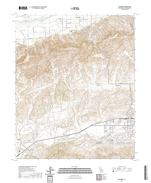
 2018 Moorpark2018 Print · USGSCovers Moorpark, including Somis, Fairview, and other nearby areas
 - 2018 Map of Simi Valley West, 2018 Print
 2018 Simi Valley West2018 Print · USGSCovers Moorpark, including Thousand Oaks, Simi Valley, and other nearby areas
 - 2022 Map of Moorpark, 2022 Print
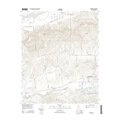
 2022 Moorpark2022 Print · USGSVentura County's fertile valleys and oil-rich ridges come into focus in this contemporary survey of the Moorpark and Bardsdale corridor. Genealogists and researchers can trace local landmarks like Bardsdale Cem, the San Marino Oil Company site, and the rural character of Somis.
 - 2022 Map of Simi Valley West, 2022 Print
 2022 Simi Valley West2022 Print · USGSVentura County at the start of the 2020s shows the dense suburban expansion of Simi Valley and Moorpark against a backdrop of steep ridgelines. Researchers can trace local heritage at El Rancho Simi Pioneer Cem or explore the rugged network of the Edison Fire Rd.
End of results
Showing maps 1-8 of 8
Top cities near Moorpark
- Los Angeles historical maps
- Thousand Oaks historical maps
- Simi Valley historical maps
- Camarillo historical maps
- Santa Paula historical maps
- Calabasas historical maps
See more
Top neighborhoods of Moorpark
Frequently asked questions
- What are the different types of historical maps available for Moorpark?
- What is the oldest map of Moorpark?
- Where can I purchase historical maps of Moorpark for my home or office?
- Where can I download high-res historical maps of Moorpark?
- Are there historical topographic maps available for Moorpark?
- Is there historical aerial imagery available for Moorpark?
- Where are historical maps of Moorpark sourced from?