2000s (21st Century) Maps of Oxnard, California
Explore 20 historic maps of Oxnard from the 2000s (21st Century). These maps offer a rare glimpse into what life looked like during the 2000s — showing old roads, neighborhoods, homes, and landmarks that have changed or disappeared over time.
Whether you're researching your family's past, planning a metal detecting trip, or studying how Oxnard's landscape evolved across the 2000s, these high-resolution maps are a powerful tool for exploring the history of this region.
- Focus on a specific era: All maps on this page are from the 2000s, giving you a focused view of this time period.
- See what’s changed: Compare century-old streets, trails, and buildings to today's modern landscape using overlays and satellite layers.
- Research with precision: Use these maps for genealogy, historical research, land use analysis, or educational projects.
- View, download, or print: Maps are fully viewable online in high resolution, and can be downloaded or printed for your own records.
Start exploring Oxnard's history through authentic maps from the 2000s. This is your window into the past.
Oxnard, CA maps
(20)- 2012 Map of Oxnard OE W, 2012 Print
 2012 Oxnard OE W2012 Print · USGSCovers Oxnard, including Ventura, Ventura County, and other nearby areas
 - 2012 Map of Saticoy, 2012 Print
 2012 Saticoy2012 Print · USGSCovers Oxnard, including Ventura, Strickland Acres, and other nearby areas
 - 2012 Map of Oxnard, 2012 Print
 2012 Oxnard2012 Print · USGSCovers Oxnard, including Ventura, Port Hueneme, and other nearby areas
 - 2012 Map of Camarillo, 2012 Print
 2012 Camarillo2012 Print · USGSCovers Oxnard, including Thousand Oaks, Camarillo, and other nearby areas
 - 2012 Map of Point Mugu OE W, 2012 Print
 2012 Point Mugu OE W2012 Print · USGSCovers Oxnard, including Ventura County, United States, and other nearby areas
 - 2015 Map of Camarillo, 2015 Print
 2015 Camarillo2015 Print · USGSCovers Oxnard, including Thousand Oaks, Camarillo, and other nearby areas
 - 2015 Map of Saticoy, 2015 Print
 2015 Saticoy2015 Print · USGSCovers Oxnard, including Ventura, Strickland Acres, and other nearby areas
 - 2015 Map of Oxnard, 2015 Print
 2015 Oxnard2015 Print · USGSCovers Oxnard, including Ventura, Port Hueneme, and other nearby areas
 - 2015 Map of Oxnard OE W, 2015 Print
 2015 Oxnard OE W2015 Print · USGSCovers Oxnard, including Ventura, Ventura County, and other nearby areas
 - 2015 Map of Point Mugu OE W, 2015 Print
 2015 Point Mugu OE W2015 Print · USGSCovers Oxnard, including Ventura County, United States, and other nearby areas
 - 2018 Map of Saticoy, 2018 Print
 2018 Saticoy2018 Print · USGSCovers Oxnard, including Ventura, Strickland Acres, and other nearby areas
 - 2018 Map of Oxnard OE W, 2018 Print
 2018 Oxnard OE W2018 Print · USGSCovers Oxnard, including Ventura, Ventura County, and other nearby areas
 - 2018 Map of Camarillo, 2018 Print
 2018 Camarillo2018 Print · USGSCovers Oxnard, including Thousand Oaks, Camarillo, and other nearby areas
 - 2018 Map of Oxnard, 2018 Print
 2018 Oxnard2018 Print · USGSCovers Oxnard, including Ventura, Port Hueneme, and other nearby areas
 - 2018 Map of Point Mugu OE W, 2018 Print
 2018 Point Mugu OE W2018 Print · USGSCovers Oxnard, including Ventura County, United States, and other nearby areas
 - 2021 Map of Point Mugu OE W, 2021 Print
 2021 Point Mugu OE W2021 Print · USGSThe Ventura County coastline in 2021 is defined by its military and maritime utility. Genealogists and historians can trace the modern layout of the Point Mugu Naval Air Station and transit corridors like Arnold Rd and Beach Rd.
 - 2022 Map of Camarillo, 2022 Print
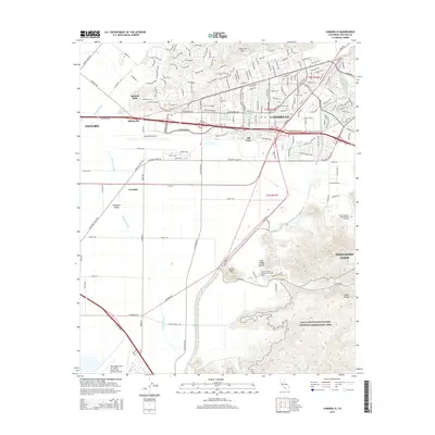
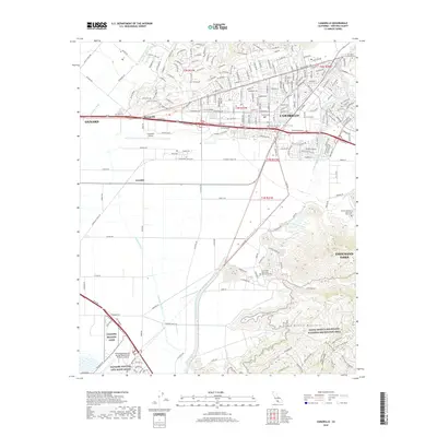
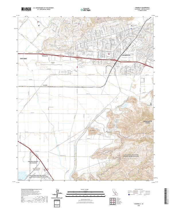 2022 Camarillo2022 Print · USGSVentura County's coastal valley comes into focus in this contemporary survey of the corridor between Oxnard and Thousand Oaks. Researchers can trace the layout of Saint John's Seminary, the military grounds of Channel Islands ANG Station, and the slopes of the Santa Monica Mountains.
 - 2022 Map of Saticoy, 2022 Print
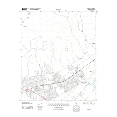
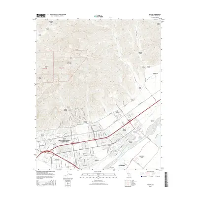
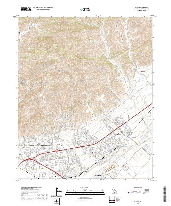 2022 Saticoy2022 Print · USGSThe coastal valley of Ventura County is captured here at the start of the 2020s, showing the intersection of urban growth and agricultural heritage. Researchers can trace local landmarks like Saticoy, the Ventura College campus, and the historic citrus lands of Limoneira.
 - 2022 Map of Oxnard, 2022 Print
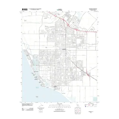
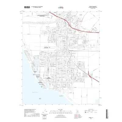
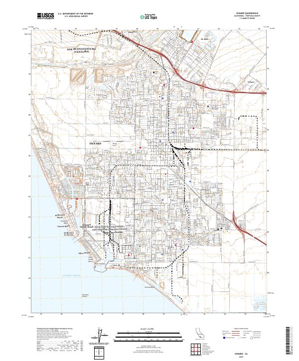 2022 Oxnard2022 Print · USGSThe Ventura County coastline comes into sharp focus during this era of modern coastal development and maritime industry. Researchers can trace the layout of beachside communities like Hollywood by the Sea and locate local landmarks such as Oxnard Airport and the Japanese Cem.
 - 2022 Map of Oxnard OE W, 2022 Print
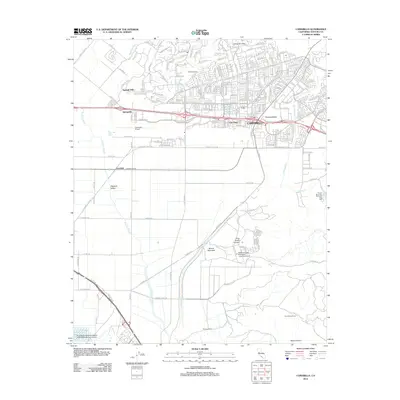
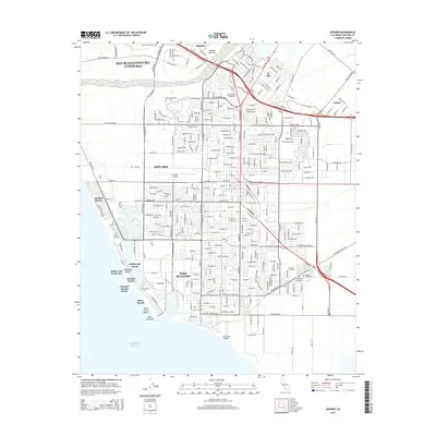
 2022 Oxnard OE W2022 Print · USGSThe Ventura County coastline comes into sharp focus in the early 2020s, showing the meeting of urban development and protected shores. Researchers can trace public access via the Ventura Harbor Waterfront Walk or locate coastal landmarks like McGrath Lake and South Jetty Beach.
End of results
Showing maps 1-20 of 20
Top cities near Oxnard
- Thousand Oaks historical maps
- Ventura historical maps
- Camarillo historical maps
- Santa Paula historical maps
- Port Hueneme historical maps
Top neighborhoods of Oxnard
- Oxnard Shores historical maps
- Owl Mobile Manor historical maps
- El Rio historical maps
- The Westerlies historical maps
Frequently asked questions
- What are the different types of historical maps available for Oxnard?
- What is the oldest map of Oxnard?
- Where can I purchase historical maps of Oxnard for my home or office?
- Where can I download high-res historical maps of Oxnard?
- Are there historical topographic maps available for Oxnard?
- Is there historical aerial imagery available for Oxnard?
- Where are historical maps of Oxnard sourced from?