Old Maps of Guinda, California for Hiking & Exploration
Hike through history with 13 historic maps of Guinda. Explore old trails, ghost towns, and forgotten backroads — perfect for outdoor adventurers and local explorers.
- Rediscover forgotten places: Map out old mining camps, roads, and footpaths that no longer exist on modern maps.
- Layer with modern tools: Combine with LiDAR or satellite views to plan hikes through historical terrain.
- Made for exploration: Popular among hikers, overlanders, and local history lovers.
Use these maps to find adventure and explore the hidden past of Guinda.
Guinda, CA maps
(13)- 1945 Map of Rumsey
 1945 Rumsey1945 Print · USGSThe Capay Valley and northern Sacramento Valley meet here in the mid-1940s, showing a landscape of secluded canyons and rail-side settlements. Genealogists can trace family footprints near Rumsey, Guinda, and rural schoolhouses like Wildwood Sch.2 unique versions available
 - 1947 Map of Santa Rosa
 1947 Santa Rosa1947 Print · USGSNorthern California in the late 1940s was a landscape of agricultural valleys and vital rail hubs. Trace the historic routes of the Northwestern Pacific through Healdsburg or explore the mid-century waterfronts of Vallejo and Benicia near Mare Island.
 - 1949 Map of Santa Rosa
 1949 Santa Rosa1949 Print · USGSThe North Bay and Wine Country appear here in the late 1940s, when the Northwestern Pacific RR still dominated regional transit. Genealogists and historians can trace old coastal outposts like Anchor Bay Settlement and the early layout of Santa Rosa.2 unique versions available
 - 1958 Map of Santa Rosa, 1968 Print
 1958 Santa Rosa1968 Print · USGSThe North Bay and Wine Country are captured in the mid-twentieth century as the region balanced its agricultural roots with a growing military and recreational footprint. Researchers can trace the Northwestern Pacific RR through the Russian River valley or locate landmarks like the Petaluma Adobe Historical Monument and The Geysers Resort.3 unique versions available
 - 1959 Map of Guinda, 1961 Print
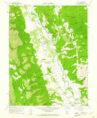 1959 Guinda1961 Print · USGSThe Capay Valley was a land of orchards and creek-side settlements in the late fifties. You can trace the rural infrastructure of Guinda and Tancred or find local landmarks like Indian Sch, Cañon Sch, and the Rumsey Rancheria.6 unique versions available
 - 1959 Map of Guinda, 1962 Print
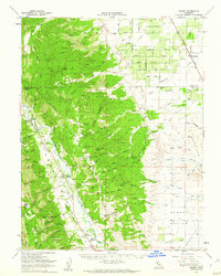 1959 Guinda1962 Print · USGSThe Capay Valley was a vital agricultural and transport corridor in the late 1950s, centered on the flow of Cache Creek. Researchers can trace the Southern Pacific rail line and discover local landmarks like the Rumsey Rancheria, Wildwood Sch, and Tancred.2 unique versions available
 - 1962 Map of Santa Rosa
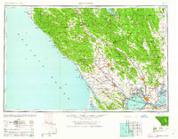 1962 Santa Rosa1962 Print · USGSThe North Bay and Wine Country were entering a period of significant growth in the early sixties, anchored by established rail corridors and coastal maritime commerce. Genealogists and historians can trace the development of Santa Rosa, locate the Mare Island Naval Shipyard, and follow the Northwestern Pacific RR through the Cotati Valley.
 - 1964 Map of Santa Rosa
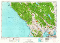 1964 Santa Rosa1964 Print · USGSThe North Bay and Wine Country appear in the mid-fifties during a period of significant military and educational growth. Trace old rail lines like the Northwestern Pacific RR and explore historic sites from Petaluma to the Benicia Arsenal.
 - 1972 Map of Healdsburg, 1975 Print
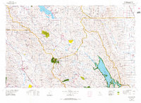 1972 Healdsburg1975 Print · USGSNorthern California wine country and the lower Lake County basins appear here during the early seventies. Trace the Northwestern Pacific rail line and discover foothill communities like Middletown and Loch Lomond.2 unique versions available
 - 2012 Map of Guinda, 2012 Print
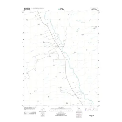 2012 Guinda2012 Print · USGSCovers Guinda, including Tancred, Yolo County, and other nearby areas
 - 2015 Map of Guinda, 2015 Print
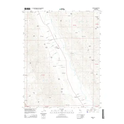 2015 Guinda2015 Print · USGSCovers Guinda, including Tancred, Yolo County, and other nearby areas
 - 2018 Map of Guinda, 2018 Print
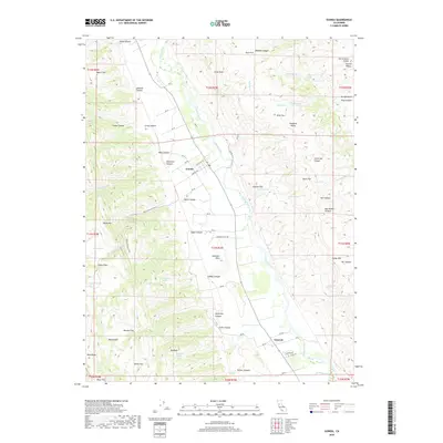 2018 Guinda2018 Print · USGSCovers Guinda, including Tancred, Yolo County, and other nearby areas
 - 2021 Map of Guinda, 2021 Print
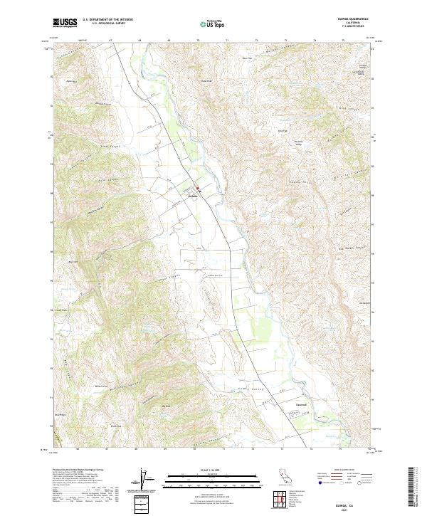 2021 Guinda2021 Print · USGSIn the northern Capay Valley during the early 2020s, the rural community of Guinda remains anchored by the waters of Cache Creek. Local researchers can trace family-named landmarks like Smith Flat and Casey Flats or identify remote springs such as DuBois Spring.
End of results
Showing maps 1-13 of 13
Top cities near Guinda
Frequently asked questions
- What are the different types of historical maps available for Guinda?
- What is the oldest map of Guinda?
- Where can I purchase historical maps of Guinda for my home or office?
- Where can I download high-res historical maps of Guinda?
- Are there historical topographic maps available for Guinda?
- Is there historical aerial imagery available for Guinda?
- Where are historical maps of Guinda sourced from?