Old Maps of Rumsey, California for Academic Research
Study the evolution of Rumsey with 13 high-resolution historic maps. Whether you're teaching, researching, or modeling changes in land use, these maps provide essential visual documentation of urban, environmental, and geographic change.
- Analyze long-term change: Track patterns in development, transportation, and natural features.
- Ideal for environmental or urban studies: Support academic projects with primary historical map data.
- Use in the classroom or lab: Educators and researchers rely on these maps to bring historical context to life.
These maps are a powerful tool for teaching, research, and visualizing how Rumsey has changed over the decades.
Rumsey, CA maps
(13)- 1945 Map of Rumsey
 1945 Rumsey1945 Print · USGSThe Capay Valley and northern Sacramento Valley meet here in the mid-1940s, showing a landscape of secluded canyons and rail-side settlements. Genealogists can trace family footprints near Rumsey, Guinda, and rural schoolhouses like Wildwood Sch.2 unique versions available
 - 1947 Map of Santa Rosa
 1947 Santa Rosa1947 Print · USGSNorthern California in the late 1940s was a landscape of agricultural valleys and vital rail hubs. Trace the historic routes of the Northwestern Pacific through Healdsburg or explore the mid-century waterfronts of Vallejo and Benicia near Mare Island.
 - 1949 Map of Santa Rosa
 1949 Santa Rosa1949 Print · USGSThe North Bay and Wine Country appear here in the late 1940s, when the Northwestern Pacific RR still dominated regional transit. Genealogists and historians can trace old coastal outposts like Anchor Bay Settlement and the early layout of Santa Rosa.2 unique versions available
 - 1958 Map of Santa Rosa, 1968 Print
 1958 Santa Rosa1968 Print · USGSThe North Bay and Wine Country are captured in the mid-twentieth century as the region balanced its agricultural roots with a growing military and recreational footprint. Researchers can trace the Northwestern Pacific RR through the Russian River valley or locate landmarks like the Petaluma Adobe Historical Monument and The Geysers Resort.3 unique versions available
 - 1959 Map of Rumsey, 1961 Print
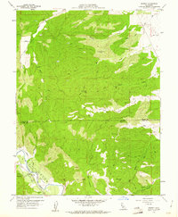 1959 Rumsey1961 Print · USGSThe Cañada de Capay valley comes to life in this late-fifties survey of the rugged Yolo and Colusa County borderlands. Researchers can trace historic homestead locations like Graves and the Rancheria, or locate the Oil Test Well and Gaging Sta along the banks of Cache Creek.4 unique versions available
 - 1959 Map of Guinda, 1962 Print
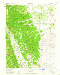 1959 Guinda1962 Print · USGSThe Capay Valley was a vital agricultural and transport corridor in the late 1950s, centered on the flow of Cache Creek. Researchers can trace the Southern Pacific rail line and discover local landmarks like the Rumsey Rancheria, Wildwood Sch, and Tancred.2 unique versions available
 - 1962 Map of Santa Rosa
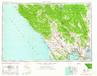 1962 Santa Rosa1962 Print · USGSThe North Bay and Wine Country were entering a period of significant growth in the early sixties, anchored by established rail corridors and coastal maritime commerce. Genealogists and historians can trace the development of Santa Rosa, locate the Mare Island Naval Shipyard, and follow the Northwestern Pacific RR through the Cotati Valley.
 - 1964 Map of Santa Rosa
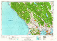 1964 Santa Rosa1964 Print · USGSThe North Bay and Wine Country appear in the mid-fifties during a period of significant military and educational growth. Trace old rail lines like the Northwestern Pacific RR and explore historic sites from Petaluma to the Benicia Arsenal.
 - 1972 Map of Healdsburg, 1975 Print
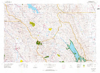 1972 Healdsburg1975 Print · USGSNorthern California wine country and the lower Lake County basins appear here during the early seventies. Trace the Northwestern Pacific rail line and discover foothill communities like Middletown and Loch Lomond.2 unique versions available
 - 2012 Map of Rumsey, 2012 Print
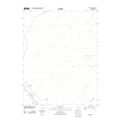 2012 Rumsey2012 Print · USGSRumsey and the rugged canyons of northwestern Yolo County are captured here just after the turn of the millennium. Researchers can trace the winding course of Cache Cr past the Blue Cliffs and explore rural corridors like Sand Creek Rd and Co Rd 41.
 - 2015 Map of Rumsey, 2015 Print
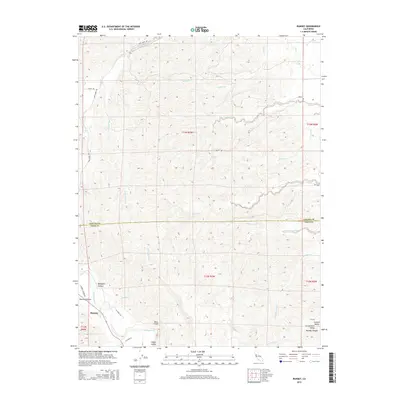 2015 Rumsey2015 Print · USGSThe northern reaches of the Capay Valley are captured here in the mid-2010s, where the hills meet the flatlands. Genealogists and local historians can trace the geography around Rumsey, following the course of Cache Creek through landmarks like Benjamin Canyon and the Blue Cliffs.
 - 2018 Map of Rumsey, 2018 Print
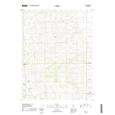 2018 Rumsey2018 Print · USGSThe foothills of the Northern Coast Ranges meet the Sacramento Valley in this recent survey of the Yolo and Colusa county line. Local historians can trace the geography of the Capay Valley near Rumsey and locate landmarks like Blue Cliffs and Benjamin Canyon.
 - 2021 Map of Rumsey, 2021 Print
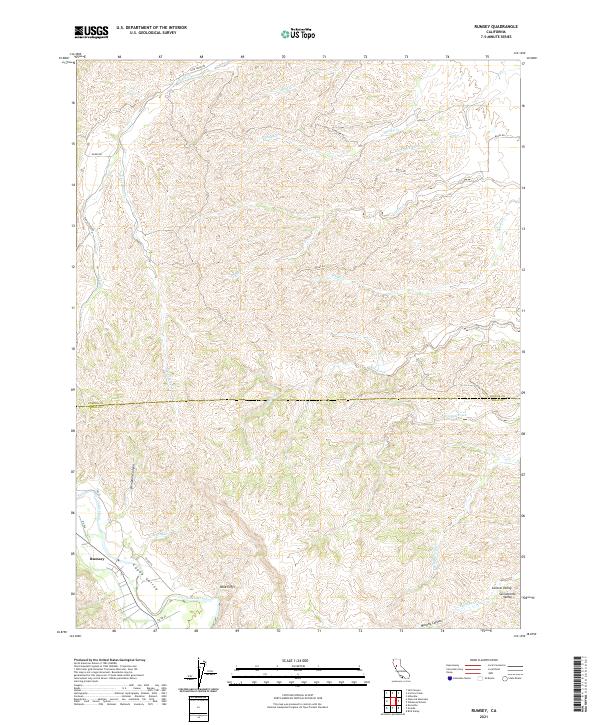 2021 Rumsey2021 Print · USGSThe northern Capay Valley is captured in this contemporary survey as it meets the foothills of the Coast Ranges. Genealogists and local historians can trace the geography around Rumsey, the prominent Blue Cliffs, and the course of Cache Creek.
End of results
Showing maps 1-13 of 13
Top cities near Rumsey
Frequently asked questions
- What are the different types of historical maps available for Rumsey?
- What is the oldest map of Rumsey?
- Where can I purchase historical maps of Rumsey for my home or office?
- Where can I download high-res historical maps of Rumsey?
- Are there historical topographic maps available for Rumsey?
- Is there historical aerial imagery available for Rumsey?
- Where are historical maps of Rumsey sourced from?