2020s Maps of Adams County, Colorado
Explore 46 historic maps of Adams County from the 2020s. These maps offer a rare glimpse into what life looked like during the 2020s — showing old roads, neighborhoods, homes, and landmarks that have changed or disappeared over time.
Whether you're researching your family's past, planning a metal detecting trip, or studying how Adams County's landscape evolved across the 2020s, these high-resolution maps are a powerful tool for exploring the history of this region.
- Focus on a specific era: All maps on this page are from the 2020s, giving you a focused view of this time period.
- See what’s changed: Compare century-old streets, trails, and buildings to today's modern landscape using overlays and satellite layers.
- Research with precision: Use these maps for genealogy, historical research, land use analysis, or educational projects.
- View, download, or print: Maps are fully viewable online in high resolution, and can be downloaded or printed for your own records.
Start exploring Adams County's history through authentic maps from the 2020s. This is your window into the past.
Adams County, CO maps
(46)- 2022 Map of Leader SW, 2022 Print
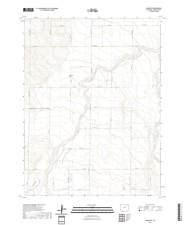 2022 Leader SW2022 Print · USGSThe eastern plains of Adams County are shown here in the early twenty-first century, where ranching and water management define the landscape. Researchers can trace the winding West Bijou Creek, identify family-named corridors like Behrens Rd, and locate local landmarks such as Antelope Flats.
 - 2022 Map of Sunnydale, 2022 Print
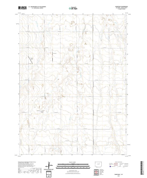 2022 Sunnydale2022 Print · USGSAdams County in the early twenty-first century remains a landscape of wide-open plains and vital water management. Researchers can trace the path of the Henrylyn Canal and locate private airfields like Flying E Airport and Campbells Airport among the section roads.
 - 2022 Map of Cottonwood Valley North, 2022 Print
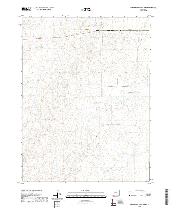 2022 Cottonwood Valley North2022 Print · USGSEastern Colorado's rural landscape is captured here in the early twenty-first century, showing the transition between Adams and Arapahoe counties. Researchers can trace the drainage patterns of Cottonwood Valley and locate remote ranch roads like Yacatan Rd and S Paperbirch Rd.
 - 2022 Map of Bennett, 2022 Print
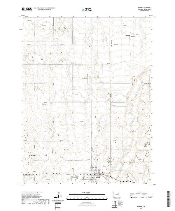 2022 Bennett2022 Print · USGSBennett and the fringes of Aurora appear here in the early twenty-first century, showcasing the development of the high plains. Researchers can trace the layout of Bennett, locate Mount View Cem, and identify private landing strips like Logan Airport.
 - 2022 Map of Shamrock, 2022 Print
 2022 Shamrock2022 Print · USGSAdams County ranching and water management are mapped in detail during the early 2020s. Genealogists and local historians can trace the network of rural section roads like Shamrock Mile Rd and hydrological features such as Simpsons Reservoir and Sand Arroyo Creek.
 - 2022 Map of Shamrock SE, 2022 Print
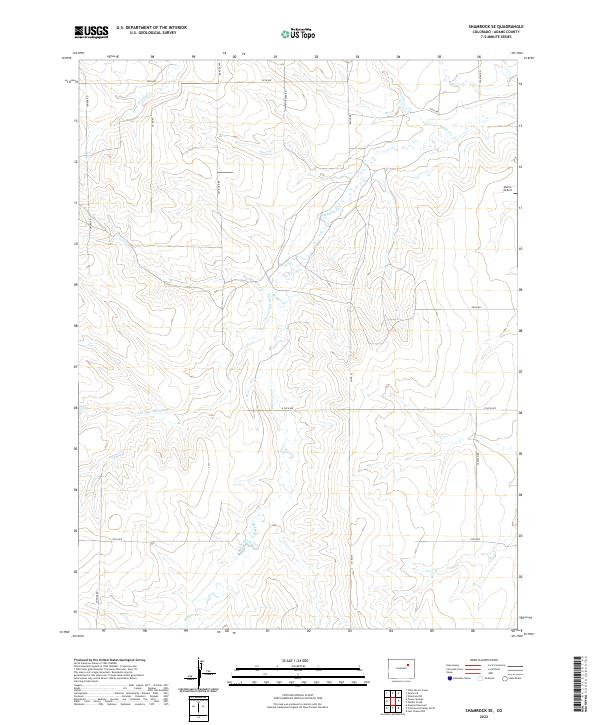 2022 Shamrock SE2022 Print · USGSAdams County at the start of the 2020s shows a landscape of expansive ranch land and rural corridors. Researchers can trace land divisions and local landmarks like Morris Airport and the seasonal flows of Badger Cr and Sand Arroyo Cr.
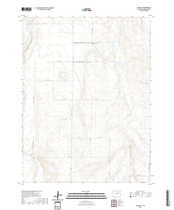
 - 2022 Map of Leader NW, 2022 Print
 2022 Leader NW2022 Print · USGSHigh plains agriculture and aviation intersect in Adams County during the early twenty-first century. Researchers can trace the drainage of Mule Cr and Antelope Cr or locate the Bijou Basin Airport and the historic route of Perless Mine Rd.
 - 2022 Map of Woodrow NW, 2022 Print
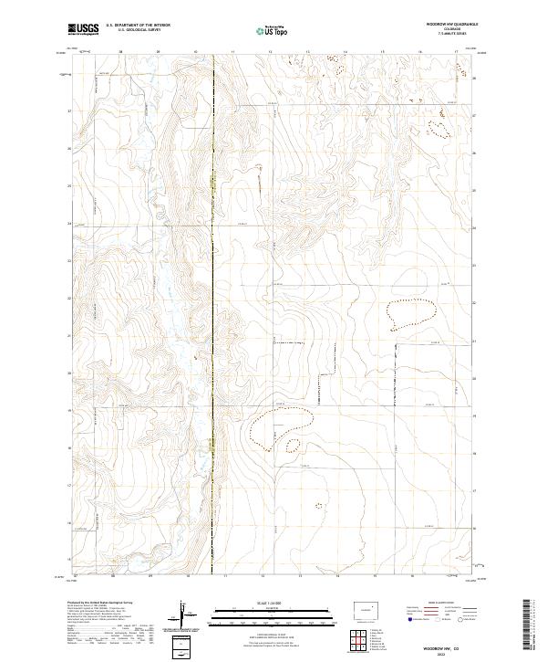 2022 Woodrow NW2022 Print · USGSThe eastern Colorado high plains are captured in this 2022 survey, illustrating the intersection of Adams Co and Washington Co. Genealogists and local historians can trace rural property boundaries along the course of Badger Cr and the long stretch of Meridian Rd.
 - 2022 Map of Byers, 2022 Print
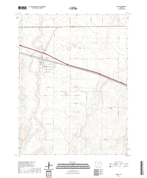 2022 Byers2022 Print · USGSByers and the high plains of Eastern Colorado are documented here in the early twenty-first century as the region maintains its agricultural roots. Genealogists and local historians can locate the Byers Cem, the small cluster at Peoria, and the winding course of West Bijou Creek.
 - 2022 Map of Strasburg NW, 2022 Print
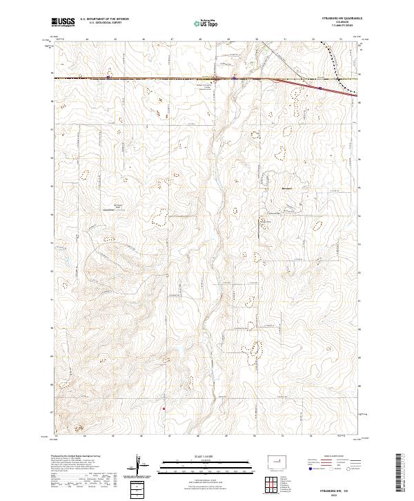 2022 Strasburg NW2022 Print · USGSThe high plains east of Denver come into focus here as they appeared in recent years, centered on the growing town of Bennett. Researchers can trace the local infrastructure and family-named aviation landmarks like Van Slyke Field and Young's Strip along the banks of Kiowa Creek.
 - 2022 Map of Living Springs, 2022 Print
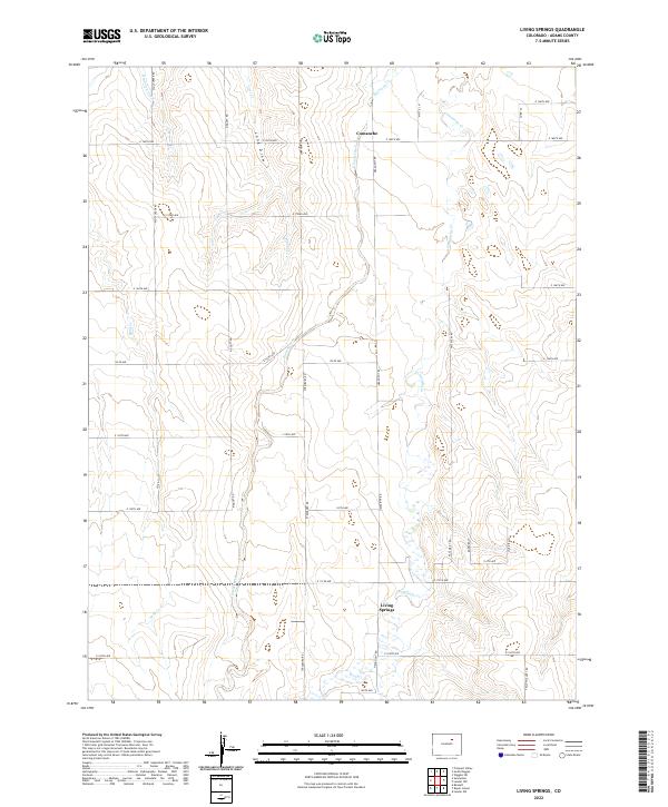 2022 Living Springs2022 Print · USGSThe Colorado high plains of Adams County appear here in the early twenty-first century, showing a landscape shaped by irrigation and seasonal creeks. Researchers can trace the Henrylyn Canal or locate rural landmarks like Living Springs, Comanche, and Long Draw.
 - 2022 Map of Roper School, 2022 Print
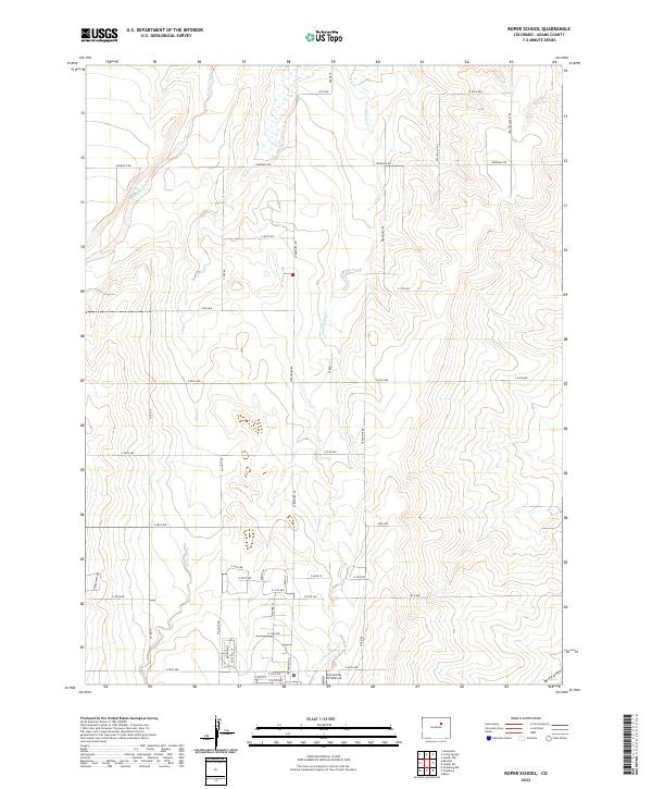 2022 Roper School2022 Print · USGSAdams County in the 2020s shows a landscape of traditional section-line farming roads adapting to modern infrastructure. Researchers can trace the drainage of Kiowa Creek or locate local landmarks like Comanche Airfield LLC and Spring Gulch.
 - 2022 Map of Leader SE, 2022 Print
 2022 Leader SE2022 Print · USGSThe high plains of Adams County are mapped here in the early 2020s, showing a landscape defined by ranching and water management. Genealogists and local historians can trace family land via Woolsey Cem and landmarks like Bramkamp Reservoir or Lone Tree Gulch.
 - 2022 Map of Strasburg, 2022 Print
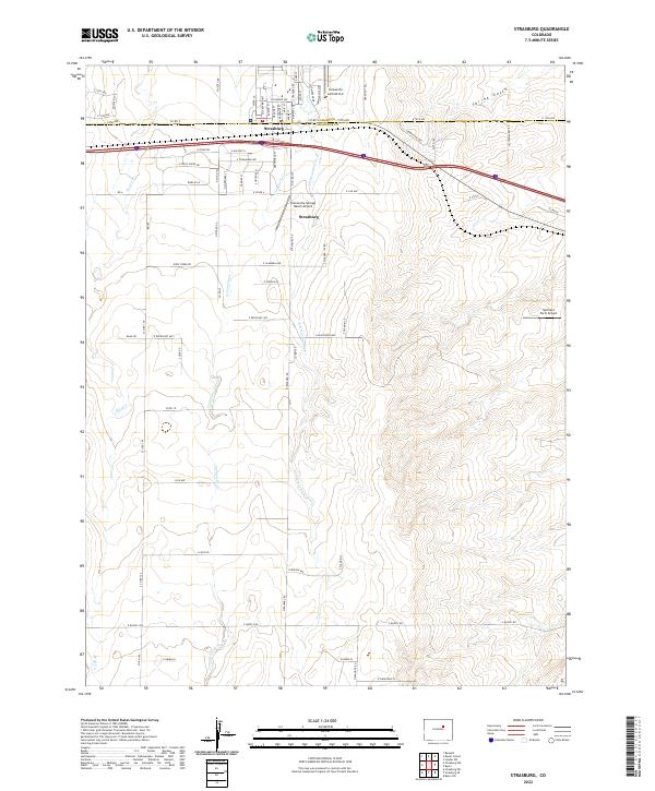 2022 Strasburg2022 Print · USGSStrasburg sits at the intersection of Adams and Arapahoe counties in the 2020s, showing a landscape defined by High Plains ranching and private aviation. Genealogists and local historians can trace modern property boundaries and rural landmarks like Comanche Airfield LLC, Spickard Farm Airport, and the winding Comanche Cr.
 - 2022 Map of Potty Brown Creek, 2022 Print
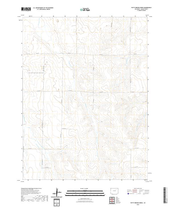 2022 Potty Brown Creek2022 Print · USGSThe high plains of Adams County are captured in the early twenty-first century, showing a landscape defined by geometric section lines and seasonal creek beds. Researchers can trace rural property boundaries and drainage patterns along Potty Brown Cr and Deter Winters Rd.
 - 2022 Map of Noonen Reservoir, 2022 Print
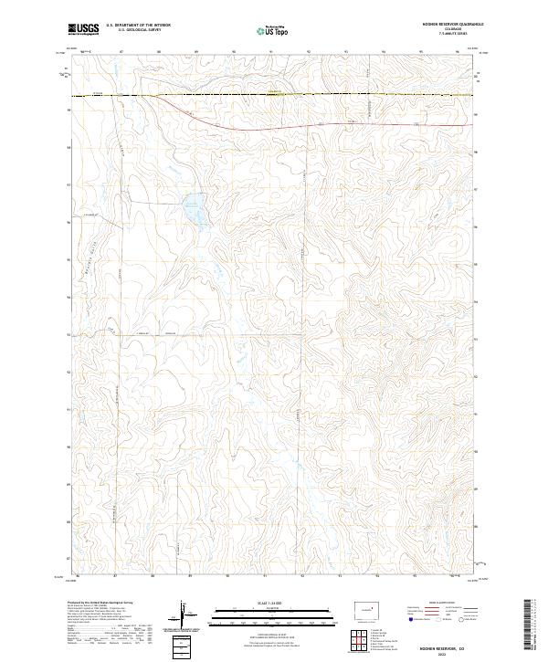 2022 Noonen Reservoir2022 Print · USGSEastern Colorado plains at the start of the 2020s show a landscape of drainage creeks and rural section lines. Genealogists and land researchers can trace family-named routes like Deter Winters Rd and S Bixler Rd near Noonen Reservoir.
 - 2022 Map of Leader, 2022 Print
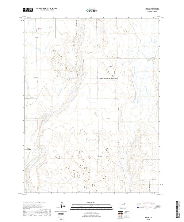 2022 Leader2022 Print · USGSAdams County’s high plains agricultural landscape is captured here in the early 2020s, centered on the rural community of Leader. Genealogists and local historians can trace the irrigation systems of the Nile Ditch and Moore Ditch, alongside landmarks like the Bijou Basin Airport.
 - 2022 Map of Last Chance NW, 2022 Print
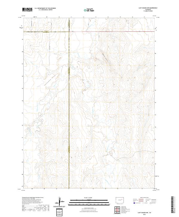 2022 Last Chance NW2022 Print · USGSEastern Colorado high plains landscape meets at the intersection of three counties in the early twenty-first century. Researchers can trace rural property lines along Co Rd 2 and N Davison Rd or follow the paths of Beaver Cr and Middlemist Cr.
 - 2022 Map of Watkins, 2022 Print
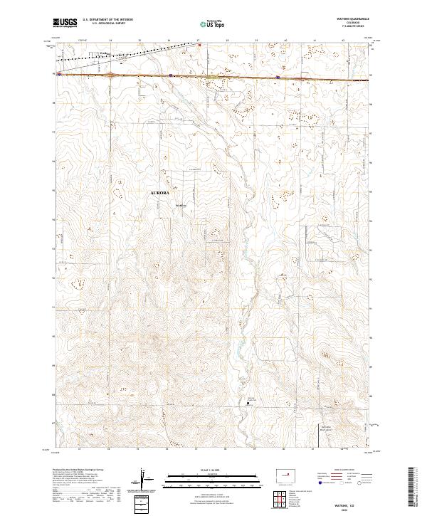 2022 Watkins2022 Print · USGSEastern Colorado plains meet the expanding suburban edge of the Denver metro area in the early 2020s. Genealogists and local historians can trace the Running Creek Cem and landmarks like the Harrington Ranch Airport or Watkins.
 - 2022 Map of Wetzel Creek, 2022 Print
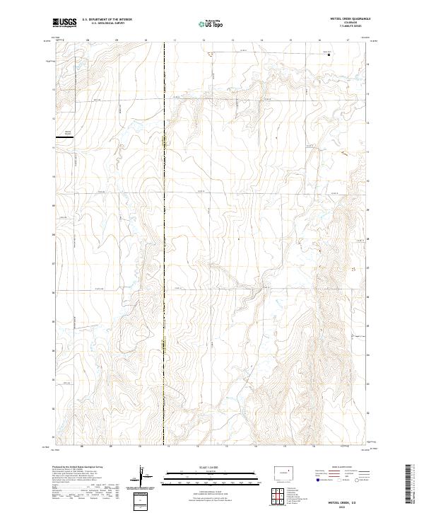 2022 Wetzel Creek2022 Print · USGSThe eastern plains of Colorado are captured here in the early twenty-first century, showing the intersection of rural infrastructure and natural drainage. Researchers can locate the Swan Cem and Morris Airport amid a network of roads like Meridian Rd.
 - 2022 Map of Peoria, 2022 Print
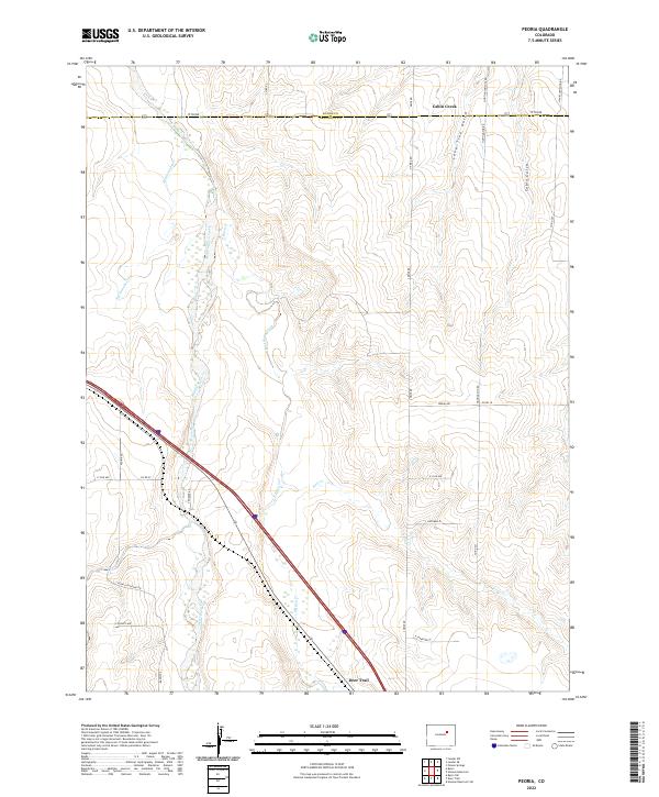 2022 Peoria2022 Print · USGSThe eastern Colorado plains come into focus in this recent survey of the area near Deer Trail, where the Middle Bijou Creek meets the prairie. Researchers can trace the rural road network from Peoria Rd to Hanks Crossing Rd and locate landmarks like Lone Tree Gulch.
 - 2022 Map of Poison Springs, 2022 Print
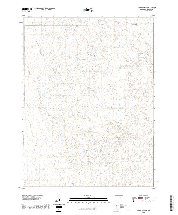 2022 Poison Springs2022 Print · USGSAdams County’s high plains and ephemeral watercourses are captured here in the early twenty-first century. Researchers can trace the drainage patterns of Poison Springs and local section roads like Hanks Crossing Rd or Co Rd 62.
 - 2022 Map of Huey Ranch, 2022 Print
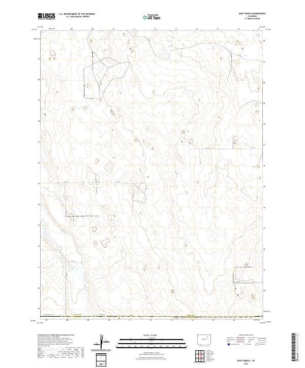 2022 Huey Ranch2022 Print · USGSThe high plains of eastern Colorado are documented here in the early 2020s, showing a landscape shaped by ranching and meticulous road grids. Researchers can trace the path of Badger Cr or locate family land holdings near Pleasant Ridge and Seventeenmile Rd.
 - 2022 Map of Hudson, 2022 Print
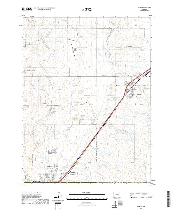 2022 Hudson2022 Print · USGSThe high plains of eastern Colorado are defined here by an intricate web of 2020s irrigation and transport. Researchers can trace the layout of Hudson and Lochbuie, find Mountain View Cem, and locate landmarks like Riley Mound and Henry Lake Reservoir.
 - 2022 Map of Wiggins SW, 2022 Print
 2022 Wiggins SW2022 Print · USGSThe borderlands of Weld and Morgan Counties are captured here in the 2020s, showing a landscape of high plains agriculture and irrigation. Researchers can trace the path of Nile Ditch or locate family-operated sites like the Westberg-Rosling Farms Airport.
Showing maps 1-25 of 46
Top cities of Adams County
- Thornton historical maps
- Commerce City historical maps
- Northglenn historical maps
- Brighton historical maps
- Sherrelwood historical maps
- Welby historical maps
See more
Frequently asked questions
- What are the different types of historical maps available for Adams County?
- What is the oldest map of Adams County?
- Where can I purchase historical maps of Adams County for my home or office?
- Where can I download high-res historical maps of Adams County?
- Are there historical topographic maps available for Adams County?
- Is there historical aerial imagery available for Adams County?
- Where are historical maps of Adams County sourced from?