2000s (21st Century) Maps of Adams County, Colorado
Explore 230 historic maps of Adams County from the 2000s (21st Century). These maps offer a rare glimpse into what life looked like during the 2000s — showing old roads, neighborhoods, homes, and landmarks that have changed or disappeared over time.
Whether you're researching your family's past, planning a metal detecting trip, or studying how Adams County's landscape evolved across the 2000s, these high-resolution maps are a powerful tool for exploring the history of this region.
- Focus on a specific era: All maps on this page are from the 2000s, giving you a focused view of this time period.
- See what’s changed: Compare century-old streets, trails, and buildings to today's modern landscape using overlays and satellite layers.
- Research with precision: Use these maps for genealogy, historical research, land use analysis, or educational projects.
- View, download, or print: Maps are fully viewable online in high resolution, and can be downloaded or printed for your own records.
Start exploring Adams County's history through authentic maps from the 2000s. This is your window into the past.
Adams County, CO maps
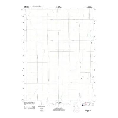
(230)- 2010 Map of Shamrock SE, 2010 Print
 2010 Shamrock SE2010 Print · USGSCovers Adams County, including United States, Colorado, and other nearby areas
 - 2010 Map of Wetzel Creek, 2010 Print
 2010 Wetzel Creek2010 Print · USGSCovers Adams County, including Washington County, United States, and other nearby areas
 - 2010 Map of Poison Springs, 2010 Print
 2010 Poison Springs2010 Print · USGSCovers Adams County, including United States, Colorado, and other nearby areas
 - 2010 Map of Potty Brown Creek, 2010 Print
 2010 Potty Brown Creek2010 Print · USGSCovers Adams County, including United States, Colorado, and other nearby areas
 - 2010 Map of Last Chance NW, 2010 Print
 2010 Last Chance NW2010 Print · USGSCovers Adams County, including Arapahoe County, Washington County, and other nearby areas
 - 2010 Map of Shamrock, 2010 Print
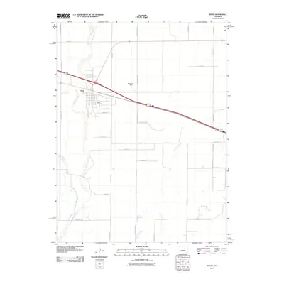
 2010 Shamrock2010 Print · USGSCovers Adams County, including Shamrock, United States, and other nearby areas
 - 2010 Map of Woodrow NW, 2010 Print
 2010 Woodrow NW2010 Print · USGSCovers Adams County, including Washington County, United States, and other nearby areas
 - 2010 Map of Leader, 2010 Print
 2010 Leader2010 Print · USGSCovers Adams County, including Leader, United States, and other nearby areas
 - 2010 Map of Leader NW, 2010 Print
 2010 Leader NW2010 Print · USGSCovers Adams County, including United States, Colorado, and other nearby areas
 - 2010 Map of Byers, 2010 Print
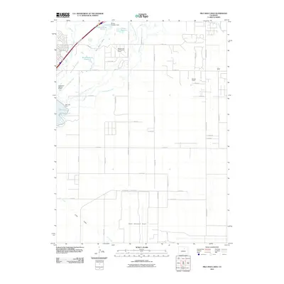
 2010 Byers2010 Print · USGSCovers Adams County, including Byers, Arapahoe County, and other nearby areas
 - 2010 Map of Mile High Lakes, 2010 Print
 2010 Mile High Lakes2010 Print · USGSCovers Adams County, including Commerce City, Brighton, and other nearby areas
 - 2010 Map of Englewood, 2010 Print
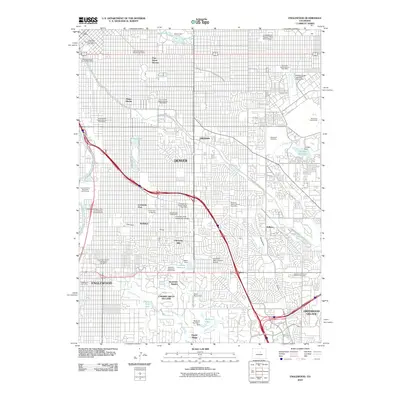 2010 Englewood2010 Print · USGSCovers Adams County, including Denver, Aurora, and other nearby areas
 - 2010 Map of Leader SW, 2010 Print
 2010 Leader SW2010 Print · USGSCovers Adams County, including United States, Colorado, and other nearby areas
 - 2010 Map of Brighton, 2010 Print
 2010 Brighton2010 Print · USGSCovers Adams County, including Commerce City, Brighton, and other nearby areas
 - 2010 Map of Manila, 2010 Print
 2010 Manila2010 Print · USGSCovers Adams County, including Aurora, Manila, and other nearby areas
 - 2010 Map of Living Springs, 2010 Print
 2010 Living Springs2010 Print · USGSCovers Adams County, including Comanche, Living Springs, and other nearby areas
 - 2010 Map of Commerce City, 2010 Print
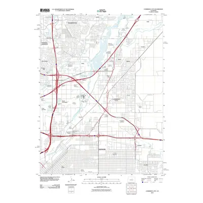 2010 Commerce City2010 Print · USGSCovers Adams County, including Aurora, Thornton, and other nearby areas
 - 2010 Map of Sunnydale, 2010 Print
 2010 Sunnydale2010 Print · USGSCovers Adams County, including United States, Colorado, and other nearby areas
 - 2010 Map of Horse Creek, 2010 Print
 2010 Horse Creek2010 Print · USGSCovers Adams County, including Denver, United States, and other nearby areas
 - 2010 Map of Bennett, 2010 Print
 2010 Bennett2010 Print · USGSCovers Adams County, including Aurora, Bennett, and other nearby areas
 - 2010 Map of Strasburg NW, 2010 Print
 2010 Strasburg NW2010 Print · USGSCovers Adams County, including Bennett, Bennett, and other nearby areas
 - 2010 Map of Denver International Airport, 2010 Print
 2010 Denver International Airport2010 Print · USGSCovers Adams County, including Aurora, Commerce City, and other nearby areas
 - 2010 Map of Leader SE, 2010 Print
 2010 Leader SE2010 Print · USGSCovers Adams County, including United States, Colorado, and other nearby areas
 - 2010 Map of Watkins, 2010 Print
 2010 Watkins2010 Print · USGSCovers Adams County, including Aurora, Watkins, and other nearby areas
 - 2010 Map of Hudson, 2010 Print
 2010 Hudson2010 Print · USGSCovers Adams County, including Brighton, Fort Lupton, and other nearby areas
Showing maps 1-25 of 230
Top cities of Adams County
- Thornton historical maps
- Commerce City historical maps
- Northglenn historical maps
- Brighton historical maps
- Sherrelwood historical maps
- Welby historical maps
See more
Frequently asked questions
- What are the different types of historical maps available for Adams County?
- What is the oldest map of Adams County?
- Where can I purchase historical maps of Adams County for my home or office?
- Where can I download high-res historical maps of Adams County?
- Are there historical topographic maps available for Adams County?
- Is there historical aerial imagery available for Adams County?
- Where are historical maps of Adams County sourced from?