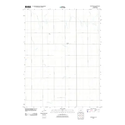
2010 Map of Sunnydale
USGS Topo · Published 2010About this map
The Sunnydale Community House stands as a focal point for this agrarian landscape in Adams County at the start of the twenty-first century. The terrain is defined by a grid of rural roads and the critical water management infrastructure of the Henrylyn Canal, which cuts through the northeastern section of the quadrangle. This hydraulic system supports the local agriculture, winding across a landscape otherwise carved by the natural drainage of Lost Creek, West Sand Creek, and Sand Creek. Settlement is sparse, characterized by large sections of land bisected by roads such as N Schumaker Rd and Yulle Rd. The presence of the JJS Airport north of E 144th Ave highlights the modern aerial utility integrated into this traditionally rural region.
Find a feature on this map
23 named features on this map. Tap any name to fly to it.
Don’t see what you’re looking for? This feature index may not catch every label — zoom into the map to look around manually.
Map Details
Editions of this 2010 Sunnydale Map
This is the sole edition of this map. No revisions or reprints were ever made.
Other maps of this area

1890 · East Denver
USGS Topo · 1:125,000

1902 · Greeley
USGS Topo · 1:125,000

1949 · Sunnydale
USGS Topo · 1:24,000

1949 · Bennett
USGS Topo · 1:24,000

1950 · South Roggen
USGS Topo · 1:24,000

1950 · Keenesburg
USGS Topo · 1:24,000

1950 · Prospect Valley
USGS Topo · 1:24,000

1950 · Roper School
USGS Topo · 1:24,000

1951 · Keenesburg
USGS Topo · 1:24,000

1951 · Prospect Valley
USGS Topo · 1:24,000