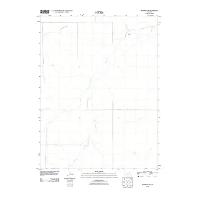
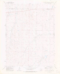
2010 Map of Shamrock SE
USGS Topo · Published 2010About this map
Middlemist Oil Field anchors the northern reaches of this High Plains landscape, situated near the headwaters of Badger Creek. The terrain is defined by a sparse but deliberate network of section-line roads, such as Hard Money Mile Rd and Payrock Mile Rd, which provide access to the agricultural and energy resources of northeastern Colorado. Intermittent watercourses, including Poison Springs Creek and Sand Arroyo Creek, weave through the open country, illustrating the importance of natural drainage patterns in this semi-arid environment. This 2010 survey reflects a period of continued local industry, where the grid-based road system supports both rural transit and energy extraction in a relatively undisturbed expanse of Adams County.
Find a feature on this map
15 named features on this map. Tap any name to fly to it.
Don’t see what you’re looking for? This feature index may not catch every label — zoom into the map to look around manually.
Map Details
Editions of this 2010 Shamrock SE Map
This is the sole edition of this map. No revisions or reprints were ever made.
Other maps of this area

1954 · Limon
USGS Topo · 1:250,000

1957 · Limon
USGS Topo · 1:250,000

1958 · Limon
USGS Topo · 1:250,000
1969 · Noonen Reservoir
USGS Topo · 1:24,000
1973 · Potty Brown Creek
USGS Topo · 1:24,000

1973 · Shamrock
USGS Topo · 1:24,000

1973 · Last Chance NW
USGS Topo · 1:24,000
1973 · Woodrow NW
USGS Topo · 1:24,000
1973 · Cottonwood Valley North
USGS Topo · 1:24,000

1973 · Wetzel Creek
USGS Topo · 1:24,000