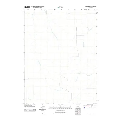
2010 Map of Poison Springs
USGS Topo · Published 2010About this map
Poision Springs and its namesake drainage, Poision Springs Creek, define this rural section of Adams County as documented by the U.S. Geological Survey in 2010. The landscape is dominated by a network of ephemeral watercourses, including Little Muddy Creek and its East Fork, alongside the dry channel of Sand Arroyo Creek. These drainages create a complex natural drainage pattern across an area transitioning toward a more structured grid system.
Find a feature on this map
16 named features on this map. Tap any name to fly to it.
Don’t see what you’re looking for? This feature index may not catch every label — zoom into the map to look around manually.
Map Details
Editions of this 2010 Poison Springs Map
This is the sole edition of this map. No revisions or reprints were ever made.
Other maps of this area

1951 · Leader SE
USGS Topo · 1:24,000

1951 · Leader
USGS Topo · 1:24,000

1953 · Denver
USGS Topo · 1:250,000

1954 · Limon
USGS Topo · 1:250,000

1956 · Peoria
USGS Topo · 1:24,000

1957 · Denver
USGS Topo · 1:250,000

1957 · Limon
USGS Topo · 1:250,000

1958 · Limon
USGS Topo · 1:250,000

1958 · Denver
USGS Topo · 1:250,000

1960 · Denver
USGS Topo · 1:250,000