
1956 Map of Peoria
USGS Topo · Published 1957About this map
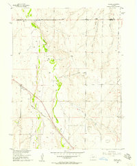
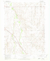
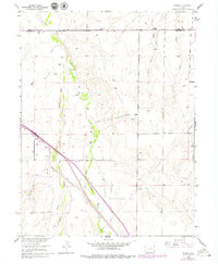
The settlement of Peoria anchors this mid-century landscape along the high plains, where the Union Pacific railroad cuts a diagonal path through the prairie terrain. The map captures an era of critical water management and resource extraction, evidenced by numerous wells and several gravel pits scattered across the landscape. The hydrology is defined by the parallel courses of East Bijou Creek and Middle Bijou Creek, which are fed by smaller drainages like Rattlesnake Creek and Lone Tree Gulch.
Find a feature on this map
14 named features on this map. Tap any name to fly to it.
Don’t see what you’re looking for? This feature index may not catch every label — zoom into the map to look around manually.
Map Details
Editions of this 1956 Peoria Map
4 editions found
Other maps of this area

1951 · Leader SE
USGS Topo · 1:24,000

1952 · Leader SW
USGS Topo · 1:24,000

1953 · Denver
USGS Topo · 1:250,000

1954 · Limon
USGS Topo · 1:250,000

1956 · Byers
USGS Topo · 1:24,000

1957 · Denver
USGS Topo · 1:250,000

1957 · Limon
USGS Topo · 1:250,000

1958 · Limon
USGS Topo · 1:250,000

1958 · Denver
USGS Topo · 1:250,000

1960 · Denver
USGS Topo · 1:250,000