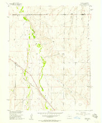
1956 Map of Peoria
USGS Topo · Published 1957About this map
Peoria sits at the intersection of high plains agriculture and rail transportation, centered on the Union Pacific line as it cuts diagonally through the Arapahoe and Adams county border. The landscape is defined by the braided drainage systems of Middle Bijou Creek and East Bijou Creek, where a series of levees have been constructed to manage the intermittent flows through the valley. This mid-century survey illustrates the rural infrastructure of the era, from a Truck Inspection Station along the northern highway to scattered Gravel Pits and numerous water wells. The terrain is deeply incised by local drainages such as Lone Tree Gulch, Cabin Gulch, and First Creek, showcasing the complex topography of the Colorado eastern plains before the expansion of modern highway networks.
Find a feature on this map
15 named features on this map. Tap any name to fly to it.
Don’t see what you’re looking for? This feature index may not catch every label — zoom into the map to look around manually.
Map Details
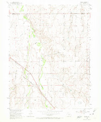
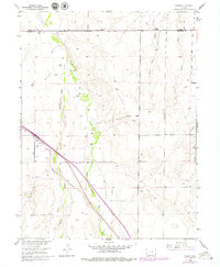
Editions of this 1956 Peoria Map
4 editions found
Other maps of this area

1951 · Leader SE
USGS Topo · 1:24,000

1952 · Leader SW
USGS Topo · 1:24,000

1953 · Denver
USGS Topo · 1:250,000

1954 · Limon
USGS Topo · 1:250,000

1956 · Peoria
USGS Topo · 1:24,000

1956 · Byers
USGS Topo · 1:24,000

1957 · Denver
USGS Topo · 1:250,000

1957 · Limon
USGS Topo · 1:250,000

1958 · Limon
USGS Topo · 1:250,000

1958 · Denver
USGS Topo · 1:250,000