
1951 Map of Leader SE
USGS Topo · Published 1953About this map
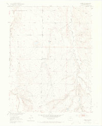
East Bijou Creek and West Bijou Creek define the western reaches of this high plains landscape, where water management was central to rural life in the early 1950s. The presence of numerous Windmill sites scattered across the terrain underscores the reliance on groundwater for the agricultural operations that shaped this part of Adams County. These small-scale features, alongside several Gravel Pits, highlight the local economy's focus on land resource extraction and ranching.
Find a feature on this map
8 named features on this map. Tap any name to fly to it.
Don’t see what you’re looking for? This feature index may not catch every label — zoom into the map to look around manually.
Map Details
Editions of this 1951 Leader SE Map
5 editions found
Other maps of this area

1951 · Leader NW
USGS Topo · 1:24,000

1951 · Leader
USGS Topo · 1:24,000

1952 · Leader SW
USGS Topo · 1:24,000

1953 · Denver
USGS Topo · 1:250,000

1954 · Limon
USGS Topo · 1:250,000

1956 · Peoria
USGS Topo · 1:24,000

1956 · Byers
USGS Topo · 1:24,000

1957 · Denver
USGS Topo · 1:250,000

1957 · Limon
USGS Topo · 1:250,000

1958 · Limon
USGS Topo · 1:250,000