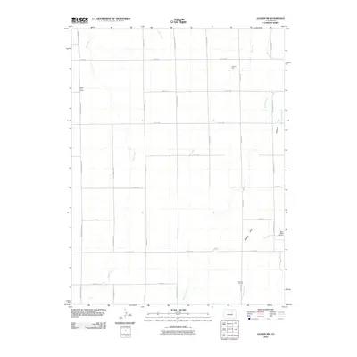
2010 Map of Leader NW
USGS Topo · Published 2010About this map
Antelope Flats dominates this section of eastern Adams County, where the landscape is defined by a sparse but organized grid of section roads and the natural drainages of the high plains. The transition from industrial extraction to rural utility is evident at the Thomas Mine and along Perless Mine Rd, which hint at the region's mining heritage. Educational centers such as Range View School and Sunrise School serve the local agricultural community, while the Bijou Basin Airport provides a modern aeronautical link to the wider region.
Find a feature on this map
30 named features on this map. Tap any name to fly to it.
Don’t see what you’re looking for? This feature index may not catch every label — zoom into the map to look around manually.
Map Details
Editions of this 2010 Leader NW Map
This is the sole edition of this map. No revisions or reprints were ever made.
Other maps of this area

1950 · South Roggen
USGS Topo · 1:24,000

1950 · Wiggins SW
USGS Topo · 1:24,000

1950 · Roper School
USGS Topo · 1:24,000

1950 · Hoyt
USGS Topo · 1:24,000

1951 · Hoyt
USGS Topo · 1:24,000

1951 · Roper School
USGS Topo · 1:24,000

1951 · Living Springs
USGS Topo · 1:24,000

1951 · Leader NW
USGS Topo · 1:24,000

1951 · Leader SE
USGS Topo · 1:24,000

1951 · Leader
USGS Topo · 1:24,000