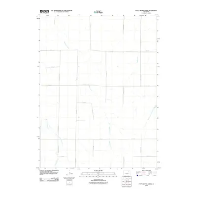
2010 Map of Potty Brown Creek
USGS Topo · Published 2010About this map
Potty Brown Creek meanders through this agricultural expanse of eastern Adams County, where a rigid grid of section-line roads defines the modern landscape. The drainage network, including Little Muddy Creek and the West Fork San Arroyo Creek, provides the primary topographical variation in an area largely dedicated to wide-scale ranching or farming. Named local thoroughfares like Deter-Winters Rd, Philmay Rd, and Prospert Way Rd suggest long-standing land ownership patterns and family legacies in this rural corridor.
Find a feature on this map
18 named features on this map. Tap any name to fly to it.
Don’t see what you’re looking for? This feature index may not catch every label — zoom into the map to look around manually.
Map Details
Editions of this 2010 Potty Brown Creek Map
This is the sole edition of this map. No revisions or reprints were ever made.
Other maps of this area

1950 · Hoyt
USGS Topo · 1:24,000

1951 · Hoyt
USGS Topo · 1:24,000

1951 · Leader SE
USGS Topo · 1:24,000

1951 · Leader
USGS Topo · 1:24,000

1953 · Denver
USGS Topo · 1:250,000

1954 · Limon
USGS Topo · 1:250,000

1954 · Sterling
USGS Topo · 1:250,000

1954 · Greeley
USGS Topo · 1:250,000

1957 · Denver
USGS Topo · 1:250,000

1957 · Limon
USGS Topo · 1:250,000