2000s (21st Century) Maps of Commerce City, Colorado
Explore 30 historic maps of Commerce City from the 2000s (21st Century). These maps offer a rare glimpse into what life looked like during the 2000s — showing old roads, neighborhoods, homes, and landmarks that have changed or disappeared over time.
Whether you're researching your family's past, planning a metal detecting trip, or studying how Commerce City's landscape evolved across the 2000s, these high-resolution maps are a powerful tool for exploring the history of this region.
- Focus on a specific era: All maps on this page are from the 2000s, giving you a focused view of this time period.
- See what’s changed: Compare century-old streets, trails, and buildings to today's modern landscape using overlays and satellite layers.
- Research with precision: Use these maps for genealogy, historical research, land use analysis, or educational projects.
- View, download, or print: Maps are fully viewable online in high resolution, and can be downloaded or printed for your own records.
Start exploring Commerce City's history through authentic maps from the 2000s. This is your window into the past.
Commerce City, CO maps
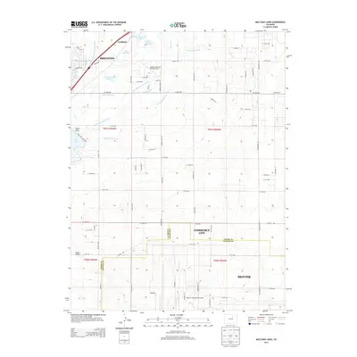
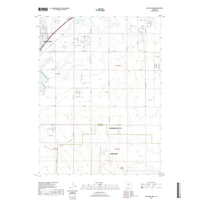
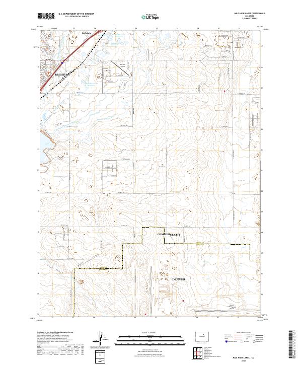
(30)- 2010 Map of Mile High Lakes, 2010 Print
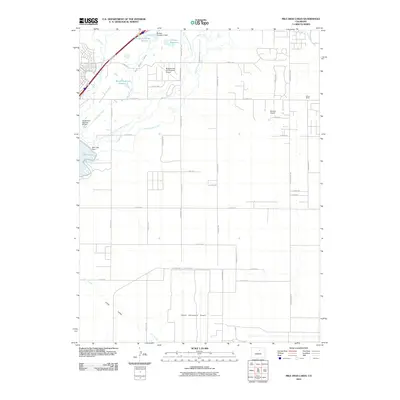 2010 Mile High Lakes2010 Print · USGSCovers Commerce City, including Brighton, Lochbuie, and other nearby areas
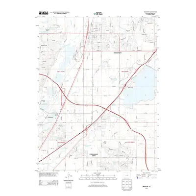
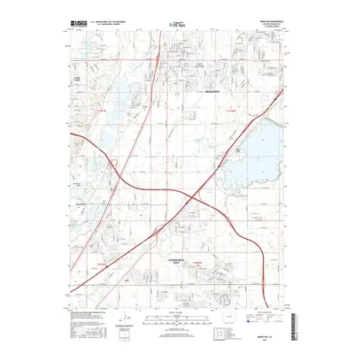
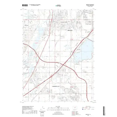
 - 2010 Map of Brighton, 2010 Print
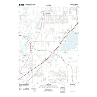 2010 Brighton2010 Print · USGSCovers Commerce City, including Brighton, Barr Lake Village, and other nearby areas
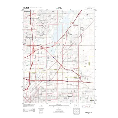
 - 2010 Map of Commerce City, 2010 Print
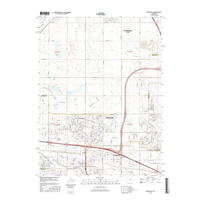
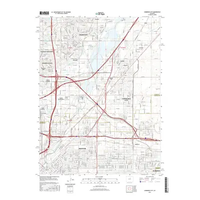
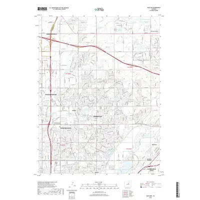
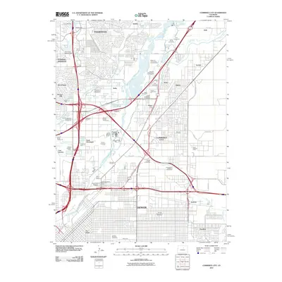 2010 Commerce City2010 Print · USGSCovers Commerce City, including Aurora, Thornton, and other nearby areas
 - 2010 Map of Denver International Airport, 2010 Print
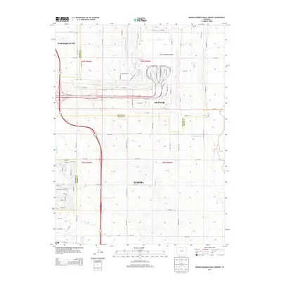
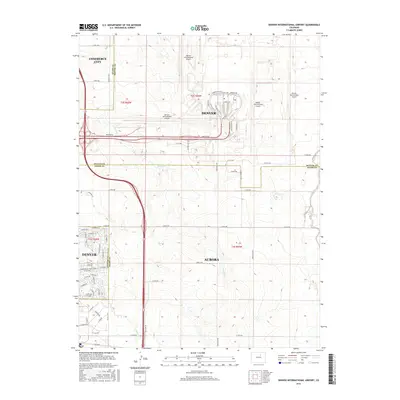
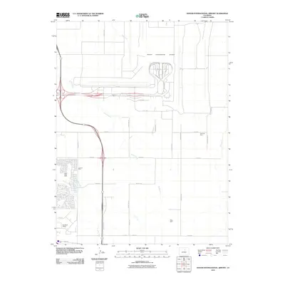 2010 Denver International Airport2010 Print · USGSCovers Commerce City, including Aurora, Windler Sub #01, and other nearby areas
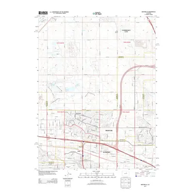
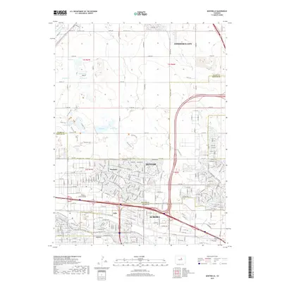
 - 2010 Map of Montbello, 2010 Print
 2010 Montbello2010 Print · USGSCovers Commerce City, including Aurora, Sable, and other nearby areas
 - 2010 Map of Eastlake, 2010 Print
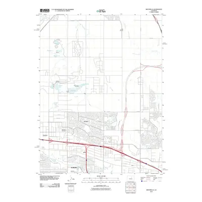
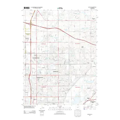
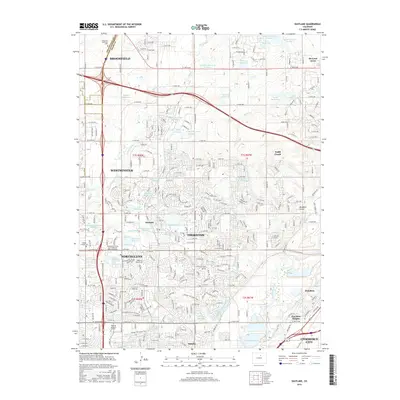
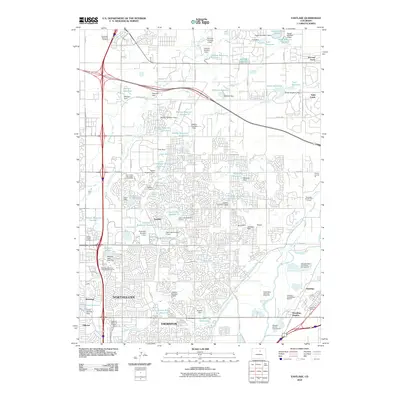 2010 Eastlake2010 Print · USGSCovers Commerce City, including Thornton, Westminster, and other nearby areas
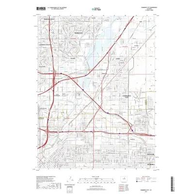
 - 2013 Map of Commerce City, 2013 Print
 2013 Commerce City2013 Print · USGSCovers Commerce City, including Aurora, Thornton, and other nearby areas
 - 2013 Map of Brighton, 2013 Print
 2013 Brighton2013 Print · USGSCovers Commerce City, including Brighton, Barr Lake Village, and other nearby areas
 - 2013 Map of Montbello, 2013 Print
 2013 Montbello2013 Print · USGSCovers Commerce City, including Aurora, Sable, and other nearby areas
 - 2013 Map of Eastlake, 2013 Print
 2013 Eastlake2013 Print · USGSCovers Commerce City, including Thornton, Westminster, and other nearby areas
 - 2013 Map of Denver International Airport, 2013 Print
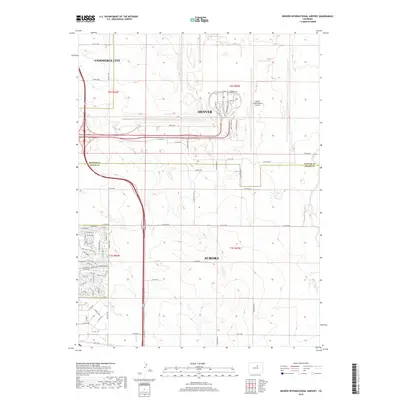
 2013 Denver International Airport2013 Print · USGSCovers Commerce City, including Aurora, Windler Sub #01, and other nearby areas
 - 2013 Map of Mile High Lakes, 2013 Print
 2013 Mile High Lakes2013 Print · USGSCovers Commerce City, including Brighton, Lochbuie, and other nearby areas
 - 2016 Map of Montbello, 2016 Print
 2016 Montbello2016 Print · USGSCovers Commerce City, including Aurora, Sable, and other nearby areas
 - 2016 Map of Eastlake, 2016 Print
 2016 Eastlake2016 Print · USGSCovers Commerce City, including Thornton, Westminster, and other nearby areas
 - 2016 Map of Brighton, 2016 Print
 2016 Brighton2016 Print · USGSCovers Commerce City, including Brighton, Barr Lake Village, and other nearby areas
 - 2016 Map of Mile High Lakes, 2016 Print
 2016 Mile High Lakes2016 Print · USGSCovers Commerce City, including Brighton, Lochbuie, and other nearby areas
 - 2016 Map of Denver International Airport, 2016 Print
 2016 Denver International Airport2016 Print · USGSCovers Commerce City, including Aurora, Windler Sub #01, and other nearby areas
 - 2016 Map of Commerce City, 2016 Print
 2016 Commerce City2016 Print · USGSCovers Commerce City, including Aurora, Thornton, and other nearby areas
 - 2019 Map of Denver International Airport, 2019 Print
 2019 Denver International Airport2019 Print · USGSCovers Commerce City, including Aurora, Windler Sub #01, and other nearby areas
 - 2019 Map of Commerce City, 2019 Print
 2019 Commerce City2019 Print · USGSCovers Commerce City, including Aurora, Thornton, and other nearby areas
 - 2019 Map of Eastlake, 2019 Print
 2019 Eastlake2019 Print · USGSCovers Commerce City, including Thornton, Westminster, and other nearby areas
 - 2019 Map of Brighton, 2019 Print
 2019 Brighton2019 Print · USGSCovers Commerce City, including Brighton, Barr Lake Village, and other nearby areas
 - 2019 Map of Mile High Lakes, 2019 Print
 2019 Mile High Lakes2019 Print · USGSCovers Commerce City, including Brighton, Lochbuie, and other nearby areas
 - 2019 Map of Montbello, 2019 Print
 2019 Montbello2019 Print · USGSCovers Commerce City, including Aurora, Sable, and other nearby areas
 - 2022 Map of Mile High Lakes, 2022 Print
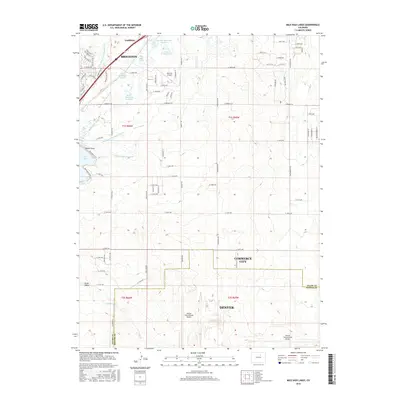
 2022 Mile High Lakes2022 Print · USGSThe high plains northeast of Denver show a modern landscape defined by aviation and irrigation in the early 2020s. Researchers can trace the sprawling boundaries of Denver International Airport and the vital waters of Barr Lake and the Denver-Hudson Canal.
Showing maps 1-25 of 30
Top cities near Commerce City
- Denver historical maps
- Aurora historical maps
- Thornton historical maps
- Westminster historical maps
- Centennial historical maps
- Northglenn historical maps
See more
Top neighborhoods of Commerce City
- Irondale historical maps
- Rolla historical maps
- Hazeltine Heights historical maps
- Eno historical maps
- Adams City historical maps
Frequently asked questions
- What are the different types of historical maps available for Commerce City?
- What is the oldest map of Commerce City?
- Where can I purchase historical maps of Commerce City for my home or office?
- Where can I download high-res historical maps of Commerce City?
- Are there historical topographic maps available for Commerce City?
- Is there historical aerial imagery available for Commerce City?
- Where are historical maps of Commerce City sourced from?