2020s Maps of Commerce City, Colorado
Explore 6 historic maps of Commerce City from the 2020s. These maps offer a rare glimpse into what life looked like during the 2020s — showing old roads, neighborhoods, homes, and landmarks that have changed or disappeared over time.
Whether you're researching your family's past, planning a metal detecting trip, or studying how Commerce City's landscape evolved across the 2020s, these high-resolution maps are a powerful tool for exploring the history of this region.
- Focus on a specific era: All maps on this page are from the 2020s, giving you a focused view of this time period.
- See what’s changed: Compare century-old streets, trails, and buildings to today's modern landscape using overlays and satellite layers.
- Research with precision: Use these maps for genealogy, historical research, land use analysis, or educational projects.
- View, download, or print: Maps are fully viewable online in high resolution, and can be downloaded or printed for your own records.
Start exploring Commerce City's history through authentic maps from the 2020s. This is your window into the past.
Commerce City, CO maps
(6)- 2022 Map of Mile High Lakes, 2022 Print
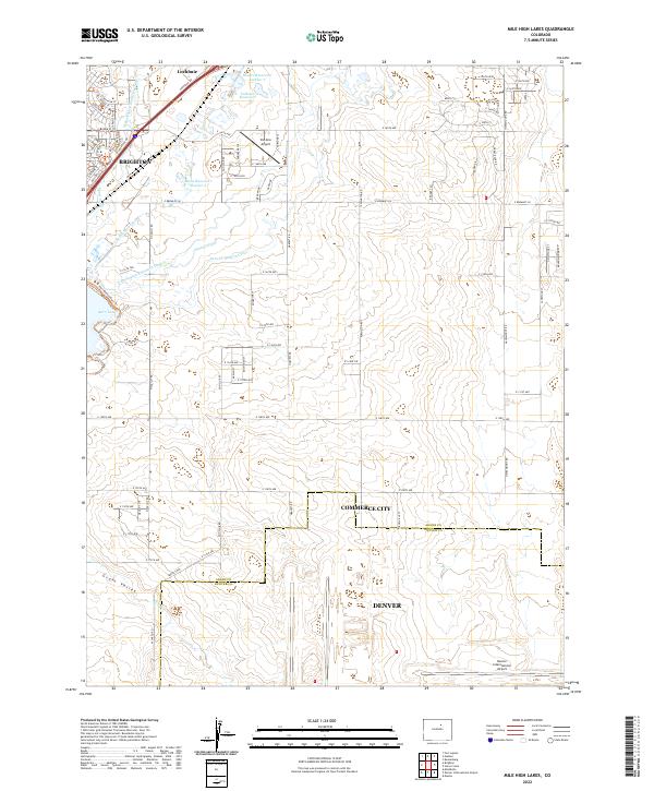 2022 Mile High Lakes2022 Print · USGSThe high plains northeast of Denver show a modern landscape defined by aviation and irrigation in the early 2020s. Researchers can trace the sprawling boundaries of Denver International Airport and the vital waters of Barr Lake and the Denver-Hudson Canal.
 - 2022 Map of Denver International Airport, 2022 Print
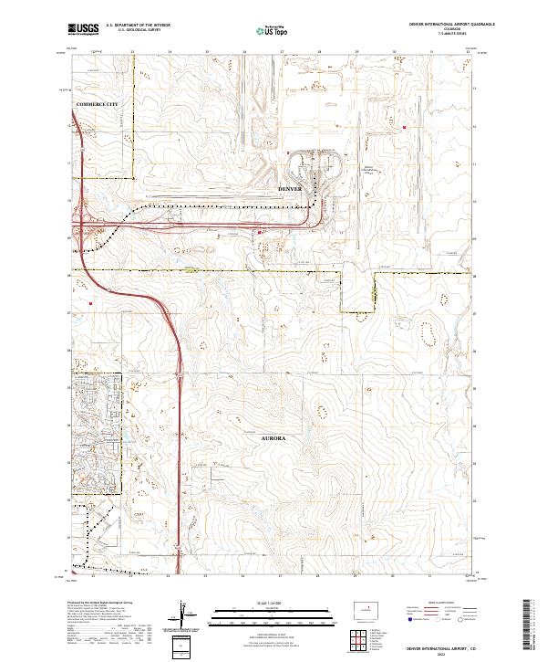 2022 Denver International Airport2022 Print · USGSThe northeastern Colorado prairie meets modern aviation infrastructure in this recent survey of the tri-city area. Researchers can trace the path of the historic High Line Canal Trl alongside the massive layout of Denver International Airport.
 - 2022 Map of Montbello, 2022 Print
 2022 Montbello2022 Print · USGSGreater Denver at the start of the 2020s shows a landscape of rapid suburban integration and complex water infrastructure. Trace the routes of the High Line Canal and the Union Pacific RR as they pass through Montbello and Sable.
 - 2022 Map of Brighton, 2022 Print
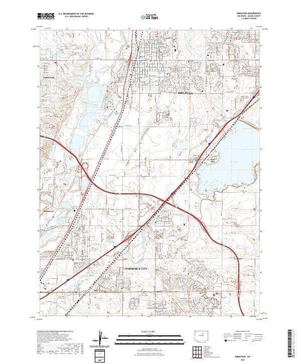 2022 Brighton2022 Print · USGSAdams County at the start of the 2020s shows a complex landscape of suburban growth and vital water infrastructure. Researchers can trace the legacy of irrigation along the Fulton Ditch or locate family plots at Fairview Cem and Elmwood Cem.
 - 2022 Map of Eastlake, 2022 Print
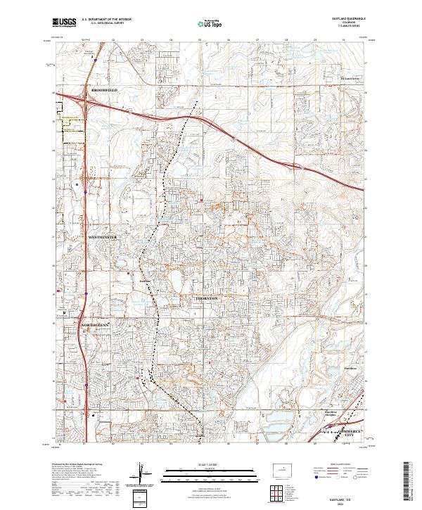 2022 Eastlake2022 Print · USGSThornton and the surrounding northern Denver suburbs are shown here during a period of significant growth, where historical water systems meet modern development. Trace the evolution of neighborhoods around Eastlake and Hunters Glen Lake, or locate sites like Wesley Chapel Cem and the South Platte River.
 - 2022 Map of Commerce City, 2022 Print
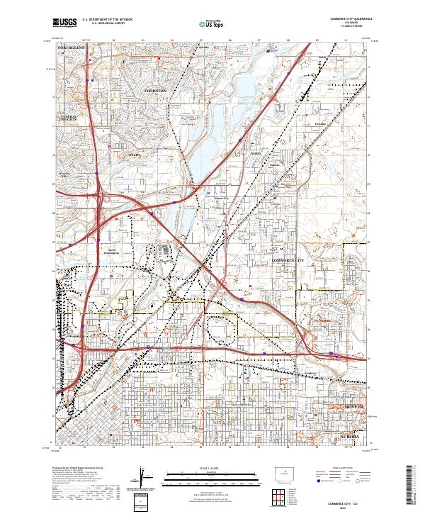 2022 Commerce City2022 Print · USGSThe northern Denver metro area is captured in the early 2020s, showing a landscape defined by the South Platte River and urban growth. Researchers can trace historical sites like Riverside Cem and the complex water works of the O'Brian Canal.
End of results
Showing maps 1-6 of 6
Top cities near Commerce City
- Denver historical maps
- Aurora historical maps
- Thornton historical maps
- Westminster historical maps
- Centennial historical maps
- Northglenn historical maps
See more
Top neighborhoods of Commerce City
- Irondale historical maps
- Rolla historical maps
- Hazeltine Heights historical maps
- Eno historical maps
- Adams City historical maps
Frequently asked questions
- What are the different types of historical maps available for Commerce City?
- What is the oldest map of Commerce City?
- Where can I purchase historical maps of Commerce City for my home or office?
- Where can I download high-res historical maps of Commerce City?
- Are there historical topographic maps available for Commerce City?
- Is there historical aerial imagery available for Commerce City?
- Where are historical maps of Commerce City sourced from?