Old Maps of Commerce City, Colorado for Metal Detecting
Plan your next treasure hunt with 62 historic maps of Commerce City. Find old homesites, ghost towns, trails, and gathering spots that may be lost to time — perfect for identifying promising metal detecting locations.
- Locate forgotten sites: Uncover places like long-lost settlements, abandoned rail lines, or gathering spots.
- Plan better hunts: Use map overlays combined with LiDAR or satellite views to narrow in on historically rich areas.
- Made for detectorists: Thousands of hobbyists use these maps to discover relics, coins, and hidden history.
Use these historic maps to boost your research and find new opportunities beneath the surface of Commerce City.
Commerce City, CO maps
(62)- 1890 Map of East Denver
 1890 East Denver1890 Print · USGSDenver and the surrounding plains are captured in the late frontier era as a complex web of irrigation canals and iron rails. Researchers can trace early water systems like the High Line Ditch or locate early settlements such as Parker's and Scranton.
 - 1938 Map of Derby, 1955 Print
 1938 Derby1955 Print · USGSThe industrial and aviation landscape north of Denver is captured here during the late Depression era, showing a transition from dense urban rail hubs to irrigated farmland. Researchers can trace the legacy of the Stockyards, the Riverside Cemetery, and early runways at the Municipal Airport.
 - 1938 Map of Long Branch, 1957 Print
 1938 Long Branch1957 Print · USGSThe outskirts of Denver in the late 1930s reveal a landscape of military installations, rail lines, and irrigation works. Trace the early boundaries of Aurora and locate local landmarks like Rose Hill Sch and Fitzsimons General Hospital.
 - 1940 Map of Brighton
 1940 Brighton1940 Print · USGSThe irrigated farmlands of Adams County come to life in this pre-war survey of the South Platte Valley. Genealogists and local historians can trace the footprint of the Denver Poor Farm and old rural schools like Pleasant Plains Sch or Cactus Ridge School.
 - 1940 Map of Eastlake
 1940 Eastlake1940 Print · USGSAdams County at the end of the 1930s shows a landscape of rail-side settlements and intensive irrigation. Genealogists can locate family landmarks like Wesley Chapel, rural school sites such as Moreland Sch, and the water networks of the Brantner Ditch.
 - 1940 Map of Derby
 1940 Derby1940 Print · USGSAdams County and north Denver appear here on the eve of World War II, showing a landscape of irrigation ditches, heavy rail, and early aviation. Researchers can trace the legacy of the Stockyards, the sprawling Denver City and Co Airport, and vanished local schools like Mapleton Sch.2 unique versions available
 - 1941 Map of Long Branch
 1941 Long Branch1941 Print · USGSThe high plains of Adams County were undergoing a period of vital irrigation and military growth just before the mid-century. Researchers can trace the early layout of Aurora, the massive Fitzsimons General Hospital campus, and the rural rail stops at Sable and Irondale.
 - 1942 Map of Mile High Lakes
 1942 Mile High Lakes1942 Print · USGSAdams County ranching and water engineering are on full display in the early 1940s, as a network of canals transformed the High Plains. Genealogists and local historians can trace legacy holdings like Patton Ranch and Miliken Ranch or locate the vital Klink Siding along the railroad.
 - 1942 Map of Box Elder School
 1942 Box Elder School1942 Print · USGSAdams County ranching and irrigation systems are in full view just before the mid-century, as the city of Denver begins to expand eastward. Trace the early rural school districts at Box Elder Sch and First Creek Sch or follow the path of the Highline Canal.
 - 1944 Map of Brighton
 1944 Brighton1944 Print · USGSThe agricultural heart of the South Platte Valley is captured here during the mid-forties as irrigation and railroads transformed the plains. Genealogists and local historians can trace the foundations of Brighton and find vanished sites like the Denver Poor Farm or Pleasant Plains Sch.
 - 1944 Map of Eastlake
 1944 Eastlake1944 Print · USGSThe South Platte River valley and the agricultural plains of Adams County appear here in the years before the Denver suburbs arrived. Genealogists and historians can trace rural family life through locations like Wesley Chapel, the local Cemetery, and early school sites like Brantner Sch.
 - 1947 Map of Derby
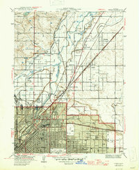 1947 Derby1947 Print · USGSDenver's northern periphery at the end of the 1930s reveals a landscape defined by industry and irrigation. Trace family roots at Riverside Cemetery or locate early landmarks like the Stockyards, Argo, and the Fish Hatchery.2 unique versions available
 - 1948 Map of Long Branch
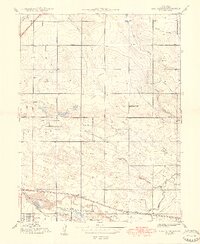 1948 Long Branch1948 Print · USGSEast of Denver in the late 1940s, this area shows a landscape of military hospitals and emerging settlements tied to the rail lines. Trace the grounds of Fitzsimons General Hospital or follow the Highline Canal past Irondale and Sable.
 - 1950 Map of Derby
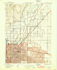 1950 Derby1950 Print · USGSThe northern reaches of Denver and Adams County are captured here at mid-century as industry and rail lines shaped the river valley. Researchers can trace the early footprints of Adams City, the Stockyards, and family history at Riverside Cemetery or Rose Hill Cem.
 - 1953 Map of Denver, 1964 Print
 1953 Denver1964 Print · USGSDenver and the Colorado Front Range are captured here during a decade of post-war growth and military expansion. Researchers can trace the sprawling rail lines of the Union Pacific, locate the State Capitol, and explore historic mountain mining hubs like Central City.6 unique versions available
 - 1957 Map of Denver
 1957 Denver1957 Print · USGSDenver and the Colorado Front Range are seen here during a mid-century period of intense military and urban expansion. Trace the footprints of the Rocky Mountain Arsenal, the early United States Air Force Academy, and the Lowry AF Base.
 - 1957 Map of Brighton, 1958 Print
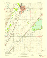 1957 Brighton1958 Print · USGSMid-century Adams County is captured here as a thriving agricultural and rail corridor along the South Platte River. Genealogists and local historians can trace rural landmarks from St Augustines Sch and the Black Cem to the early siding at Hazeltine Siding.2 unique versions available
 - 1957 Map of Sable, 1958 Print
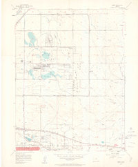 1957 Sable1958 Print · USGSThe outskirts of Denver and Aurora are captured in the late 1950s during a period of significant military and aviation growth. Researchers can trace the massive Rocky Mountain Arsenal, the sprawl of Fitzsimons Army Hospital, and the early layout of Stapleton Municipal Airport.2 unique versions available
 - 1957 Map of Derby, 1958 Print
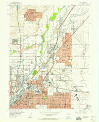 1957 Derby1958 Print · USGSNortheast of Denver during the late fifties, this area was a bustling hub of rail transport, aviation, and emerging suburbs. Genealogists and historians can trace the foundations of Thornton or locate family plots in Riverside Cemetery and Rose Hill Cem.3 unique versions available
 - 1957 Map of Eastlake, 1958 Print
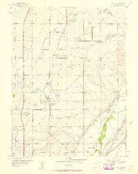 1957 Eastlake1958 Print · USGSAdams County’s farming and irrigation heartland is frozen in time in the late fifties, just as the metropolitan area began its northward shift. Researchers can trace historic water rights and small-town roots through landmarks like Eastlake, the Wesley Cem, and the Union Pacific rail siding at Hazeltine.2 unique versions available
 - 1957 Map of Mile High Lakes, 1958 Print
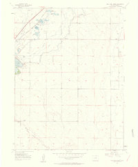 1957 Mile High Lakes1958 Print · USGSAdams County ranching and irrigation systems are frozen in time during the late fifties. You can trace the railroad corridor through Klink, locate the Green Valley Grange Hall, and explore the networks around Barr Lake and Patton Ranch.2 unique versions available
 - 1957 Map of Box Elder School, 1958 Print
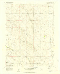 1957 Box Elder School1958 Print · USGSAdams County’s high plains are captured here in the late fifties, showing a rural landscape defined by ranching and early energy exploration. Researchers can find old schoolhouses like Box Elder Sch, the Sky Ranch Airport, and an Abandoned Canal crossing the prairie.4 unique versions available
 - 1958 Map of Denver
 1958 Denver1958 Print · USGSDenver and the Colorado Front Range are captured here during the mid-century suburban boom. Trace the footprints of military installations like Buckley Air Force Base alongside the established rail networks of the Colorado & Southern Ry.
 - 1960 Map of Denver
 1960 Denver1960 Print · USGSDenver and the Colorado Front Range are seen here at a pivotal moment of postwar expansion into the plains and foothills. Researchers can trace the mid-century rail network of the Denver & Rio Grande Western RR and locate historic institutional landmarks like Buckley Field and the Colorado School of Mines.
 - 1965 Map of Sable, 1966 Print
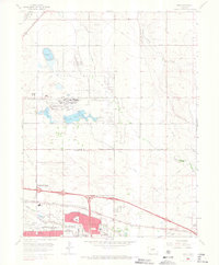 1965 Sable1966 Print · USGSMid-century Adams County shows the rapid eastward growth of Denver and Aurora as suburban neighborhoods meet massive federal installations. Trace the boundaries of the Rocky Mountain Arsenal and locate vanished landmarks like Sable and the Sky Ranch Airport.7 unique versions available
Showing maps 1-25 of 62
Top cities near Commerce City
- Denver historical maps
- Aurora historical maps
- Thornton historical maps
- Westminster historical maps
- Centennial historical maps
- Northglenn historical maps
See more
Top neighborhoods of Commerce City
- Irondale historical maps
- Rolla historical maps
- Hazeltine Heights historical maps
- Eno historical maps
- Adams City historical maps
Frequently asked questions
- What are the different types of historical maps available for Commerce City?
- What is the oldest map of Commerce City?
- Where can I purchase historical maps of Commerce City for my home or office?
- Where can I download high-res historical maps of Commerce City?
- Are there historical topographic maps available for Commerce City?
- Is there historical aerial imagery available for Commerce City?
- Where are historical maps of Commerce City sourced from?