Old Maps of Utleyville, Colorado for Academic Research
Study the evolution of Utleyville with 12 high-resolution historic maps. Whether you're teaching, researching, or modeling changes in land use, these maps provide essential visual documentation of urban, environmental, and geographic change.
- Analyze long-term change: Track patterns in development, transportation, and natural features.
- Ideal for environmental or urban studies: Support academic projects with primary historical map data.
- Use in the classroom or lab: Educators and researchers rely on these maps to bring historical context to life.
These maps are a powerful tool for teaching, research, and visualizing how Utleyville has changed over the decades.
Utleyville, CO maps
(12)- 1892 Map of Mt Carrizo
 1892 Mt Carrizo1892 Print · USGSSoutheastern Colorado in the early 1890s remained a landscape of high mesas and vital water holes. Historians can trace the original topography of Las Animas and Baca counties, locating critical sites like Carrizo Springs and Willow Spring.7 unique versions available
 - 1955 Map of La Junta, 1966 Print
 1955 La Junta1966 Print · USGSSoutheastern Colorado during the mid-fifties is captured here as a sprawling network of ranching outposts and rail sidings. Researchers can locate vanished landmarks like the Sunderland School, trace the isolated Lycan Post Office, or find the Bomb target (abandoned) on the western plains.3 unique versions available
 - 1958 Map of La Junta
 1958 La Junta1958 Print · USGSSoutheast Colorado and the Kansas borderlands appear in the late fifties as a landscape of isolated ranching outposts and vital rail junctions. Researchers can trace the lineage of vanished post offices and rural school sites like the Lycan Post Office and Sunderland School.2 unique versions available
 - 1968 Map of La Junta
 1968 La Junta1968 Print · USGSSoutheastern Colorado and the high plains appear in remarkable detail during the late 1960s, showing the intersection of irrigation, ranching, and rail. Genealogists can trace family footprints at the Lycan Post Office, Konantz Cem, and across numerous named cattle ranches.
 - 1978 Map of Utleyville
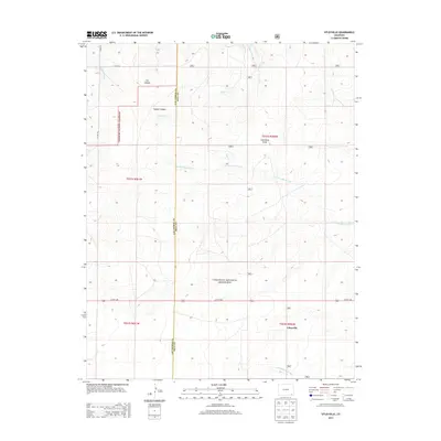
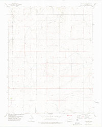 1978 Utleyville1978 Print · USGSSoutheast Colorado in the late seventies reveals a landscape of isolated settlements and desert arroyos at the Baca County line. Genealogists and researchers can trace the vicinity of Utleyville and landmarks like Martin or the drainage of Little Mustang Creek.
 - 1982 Map of Kim, 1983 Print
 1982 Kim1983 Print · USGSThe high plains of southern Colorado meet the New Mexico and Oklahoma borders in the early eighties. Genealogists and historians can trace the historic Santa Fe Trail and locate small ranching communities like Kim, Villegreen, and Utleyville.2 unique versions available
 - 1996 Map of Utleyville, 2000 Print
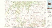
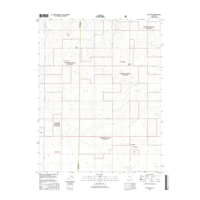
 1996 Utleyville2000 Print · USGSSoutheast Colorado ranching country is shown during the mid-1990s as the high plains began a shift toward conservation. Researchers can trace the layout of Utleyville, find local water sources like Little Mustang Creek, and see the extent of Comanche National Grassland.
 - 2011 Map of Utleyville, 2011 Print
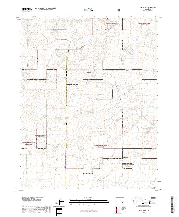
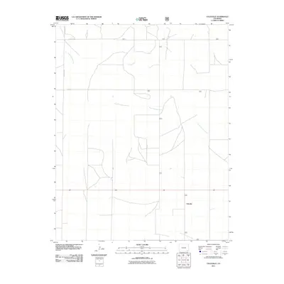 2011 Utleyville2011 Print · USGSCovers Utleyville, including Las Animas County, Baca County, and other nearby areas
 - 2013 Map of Utleyville, 2013 Print
 2013 Utleyville2013 Print · USGSCovers Utleyville, including Las Animas County, Baca County, and other nearby areas
 - 2016 Map of Utleyville, 2016 Print
 2016 Utleyville2016 Print · USGSCovers Utleyville, including Las Animas County, Baca County, and other nearby areas
 - 2019 Map of Utleyville, 2019 Print
 2019 Utleyville2019 Print · USGSCovers Utleyville, including Las Animas County, Baca County, and other nearby areas
 - 2022 Map of Utleyville, 2022 Print
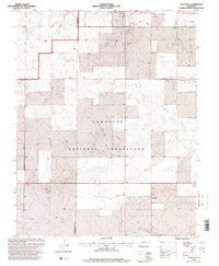
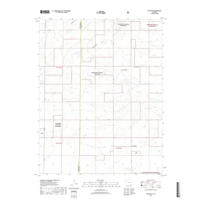
 2022 Utleyville2022 Print · USGSSoutheastern Colorado’s high plains are captured here in the early twenty-first century, centered on the rural crossing at Utleyville. Researchers can trace the drainage patterns of Cat Canyon and the N Fork Sand Arroyo through the Comanche National Grassland.
End of results
Showing maps 1-12 of 12
Top cities near Utleyville
Frequently asked questions
- What are the different types of historical maps available for Utleyville?
- What is the oldest map of Utleyville?
- Where can I purchase historical maps of Utleyville for my home or office?
- Where can I download high-res historical maps of Utleyville?
- Are there historical topographic maps available for Utleyville?
- Is there historical aerial imagery available for Utleyville?
- Where are historical maps of Utleyville sourced from?