Old Maps of Arapahoe, Colorado for Academic Research
Study the evolution of Arapahoe with 11 high-resolution historic maps. Whether you're teaching, researching, or modeling changes in land use, these maps provide essential visual documentation of urban, environmental, and geographic change.
- Analyze long-term change: Track patterns in development, transportation, and natural features.
- Ideal for environmental or urban studies: Support academic projects with primary historical map data.
- Use in the classroom or lab: Educators and researchers rely on these maps to bring historical context to life.
These maps are a powerful tool for teaching, research, and visualizing how Arapahoe has changed over the decades.
Arapahoe, CO maps
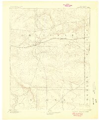
(11)- 1892 Map of Cheyenne Wells
 1892 Cheyenne Wells1892 Print · USGSEastern Colorado during the early frontier era is documented here as the railroad transformed the High Plains. Genealogists and historians can trace the vital iron link of the Union Pacific Railroad through settlements like Cheyenne Wells and Arapahoe.
 - 1894 Map of Cheyenne Wells
 1894 Cheyenne Wells1894 Print · USGSEastern Colorado in the late nineteenth century is a landscape of expansive ranchland defined by the Union Pacific Railroad. Researchers can trace early railroad settlements like Cheyenne Wells and Arapahoe or follow the courses of Ladder Creek and White Woman Creek.6 unique versions available
 - 1954 Map of Lamar, 1964 Print
 1954 Lamar1964 Print · USGSSoutheastern Colorado and the Kansas borderlands appear here in the mid-fifties, dominated by the vital Arkansas River irrigation network. Researchers can trace the development of river towns like Lamar and La Junta alongside the Amity Cemetery and several major reservoirs.3 unique versions available
 - 1958 Map of Lamar
 1958 Lamar1958 Print · USGSThe High Plains of Eastern Colorado and Western Kansas in the late fifties reveal a landscape tied to the Arkansas River and the rails. Trace the heritage of the river valley through Fort Lyon, the Atchison Topeka and Santa Fe RR, and rural landmarks like Kendrick Church.2 unique versions available
 - 1981 Map of Cheyenne Wells, 1982 Print
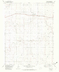
 1981 Cheyenne Wells1982 Print · USGSThe High Plains of the Colorado-Kansas border come into focus during the early 1980s, centered on the railroad corridor and cattle country. Researchers can trace the path of the UNION PACIFIC through Cheyenne Wells and follow watercourses like Rush Creek or Ladder Creek.
 - 1982 Map of Arapahoe
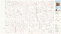
 1982 Arapahoe1982 Print · USGSThe high plains of Cheyenne County are captured here in the early 1980s, centered on the railroad town of Arapahoe. Trace the Union Pacific line as it cuts past Storage Bins and the seasonal drainages of Ladder Creek and the Smoky Hill River.
 - 2010 Map of Arapahoe, 2010 Print
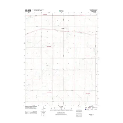
 2010 Arapahoe2010 Print · USGSCovers Arapahoe, including Cheyenne County, United States, and other nearby areas
 - 2013 Map of Arapahoe, 2013 Print
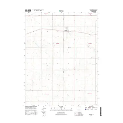
 2013 Arapahoe2013 Print · USGSCovers Arapahoe, including Cheyenne County, United States, and other nearby areas
 - 2016 Map of Arapahoe, 2016 Print
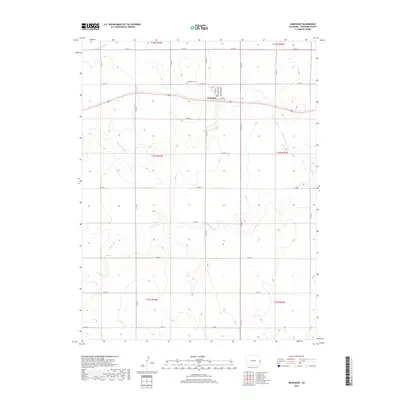
 2016 Arapahoe2016 Print · USGSCovers Arapahoe, including Cheyenne County, United States, and other nearby areas
 - 2019 Map of Arapahoe, 2019 Print
 2019 Arapahoe2019 Print · USGSCovers Arapahoe, including Cheyenne County, United States, and other nearby areas
 - 2022 Map of Arapahoe, 2022 Print
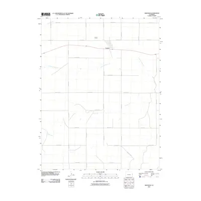
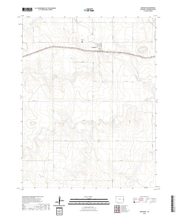 2022 Arapahoe2022 Print · USGSThe eastern Colorado prairie near the Kansas border is documented here in the early twenty-first century. Researchers can trace local lineage at the Arapahoe Cem or explore the street grid of Arapahoe including Front St and Washington Ave.
End of results
Showing maps 1-11 of 11
Top cities near Arapahoe
Frequently asked questions
- What are the different types of historical maps available for Arapahoe?
- What is the oldest map of Arapahoe?
- Where can I purchase historical maps of Arapahoe for my home or office?
- Where can I download high-res historical maps of Arapahoe?
- Are there historical topographic maps available for Arapahoe?
- Is there historical aerial imagery available for Arapahoe?
- Where are historical maps of Arapahoe sourced from?