Old Maps of Cascade, Colorado for Academic Research
Study the evolution of Cascade with 22 high-resolution historic maps. Whether you're teaching, researching, or modeling changes in land use, these maps provide essential visual documentation of urban, environmental, and geographic change.
- Analyze long-term change: Track patterns in development, transportation, and natural features.
- Ideal for environmental or urban studies: Support academic projects with primary historical map data.
- Use in the classroom or lab: Educators and researchers rely on these maps to bring historical context to life.
These maps are a powerful tool for teaching, research, and visualizing how Cascade has changed over the decades.
Cascade, CO maps
(22)- 1893 Map of Colorado Springs, 1896 Print
 1893 Colorado Springs1896 Print · USGSEl Paso County at the end of the nineteenth century was a booming intersection of mountain tourism and heavy rail commerce. Researchers can trace early railroad alignments like the Colorado Midland Railroad and locate vanished stops at Franceville Junction or Bierstadt.2 unique versions available
 - 1909 Map of Colorado Springs
 1909 Colorado Springs1909 Print · USGSColorado Springs and the Front Range foothills are shown here at a pivotal era of rail expansion and early tourism. Genealogists and historians can trace defunct rail lines, rural schoolhouse locations like Grandview School, and landmarks such as the Cliff Dwellings and Burial Rocks.5 unique versions available
 - 1942 Map of Colorado Springs
 1942 Colorado Springs1942 Print · USGSColorado Springs and the Front Range appear here in the early years of the Second World War. Genealogists and historians can trace the rail corridors of the Chicago Rock Island and Pacific RR and locate sites like the Printers Home and Glen Eyrie.
 - 1948 Map of Colorado Springs, 1957 Print
 1948 Colorado Springs1957 Print · USGSColorado Springs and the Front Range foothills are captured here in the late Forties, just as post-war growth began to accelerate. Genealogists and historians can trace institutional landmarks like the Modern Woodmen of America Sanatorium and the Myron Stratton Home alongside the early bounds of Camp Carson.
 - 1948 Map of Cascade, 1958 Print
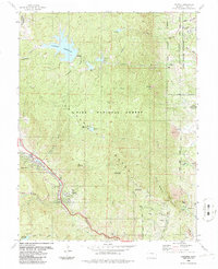
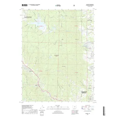
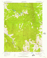 1948 Cascade1958 Print · USGSEl Paso County mountain communities and the eastern foothills of the Rampart Range are captured here in the late 1940s. Genealogists and historians can trace the foundations of Cascade, Chipita Park, and Woodmen, or locate the historic Toll Gate along Ute Pass.2 unique versions available
 - 1950 Map of Cascade
 1950 Cascade1950 Print · USGSThe Rampart Range foothills during the mid-twentieth century show a landscape of mountain health retreats and early tourism. Genealogists can trace families near Chipita Park, Glen Eyrie, and the Holy Rosary Chapel.2 unique versions available
 - 1951 Map of Colorado Springs
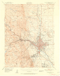 1951 Colorado Springs1951 Print · USGSColorado Springs and the Front Range foothills are captured here in the early fifties during a period of rapid urban and military growth. Genealogists and historians can trace the foundations of local institutions like the Union Printers Home, Evergreen Cem, and the Woodmen School.2 unique versions available
 - 1954 Map of Pueblo, 1966 Print
 1954 Pueblo1966 Print · USGSMid-century Colorado comes alive in this survey of the Front Range and the high plains as the region expanded after the war. Genealogists and historians can trace family roots through rural landmarks like Hanover Church, Pioneer Cemetery, and the Grandview School.3 unique versions available
 - 1957 Map of Pueblo
 1957 Pueblo1957 Print · USGSMid-century Colorado comes alive as the Front Range urban centers expand alongside massive Cold War military installations. Genealogists and historians can trace the foundations of Stone City, rural sites like Hanover School, and the industrial Canon Imperial Mine.
 - 1958 Map of Pueblo
 1958 Pueblo1958 Print · USGSColorado's Front Range and Arkansas River Valley come alive in the late fifties, showing the transition from historic mining districts to major military and rail hubs. Genealogists and historians can trace family roots in ranching communities and find landmarks like Cripple Creek, Manitou, and the Hanover School.
 - 1961 Map of Cascade, 1963 Print
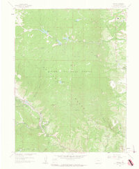 1961 Cascade1963 Print · USGSThe Rampart Range and the western edge of the Air Force Academy are shown in the early sixties as Colorado Springs expanded. Trace mountain landmarks like the Glen Eyrie estate, the Schubarth Trail, and the high waters of Manitou Reservoir.6 unique versions available
 - 1962 Map of Pueblo
 1962 Pueblo1962 Print · USGSThe Front Range and high plains meet in the early sixties as military installations and industrial mining shape the corridor from Colorado Springs to Pueblo. Genealogists can trace family names through rural landmarks like the Columbine School, Hanover Church, and Fairview Cem.
 - 1966 Map of Pueblo
 1966 Pueblo1966 Print · USGSThe Front Range and Arkansas River Valley are captured here in the mid-1960s, showing a landscape shaped by mining, military expansion, and rail. Researchers can locate numerous country schools and mines, such as the Lytle School, Pioneer Cem, and Empire Zinc Mine.
 - 1981 Map of Colorado Springs
 1981 Colorado Springs1981 Print · USGSColorado Springs and the Front Range were well established by the early eighties, showcasing a mix of military installations and mountain settlements. Genealogists and historians can trace the growth of Security and Widefield or locate remote points like Holtwold Store and Ellicott.2 unique versions available
 - 1986 Map of Cascade
 1986 Cascade1986 Print · USGSThe Rampart Range rises above the Air Force Academy in the mid-1980s, showing a landscape defined by mountain reservoirs and canyon settlements. Trace the Old Railroad Grade near Chipita Park or locate the Ute Pass School and Glen Eyrie.2 unique versions available
 - 1989 Map of Pueblo
 1989 Pueblo1989 Print · USGSIn the late eighties, the Colorado Front Range balanced its deep mining history with massive military expansion and water development. Researchers can trace the rail lines of the AT & SF RR or locate remote high-altitude settlements like Rosita and Querida.
 - 1994 Map of Cascade, 1998 Print
 1994 Cascade1998 Print · USGSThe Rampart Range rises above the Colorado Springs fringe in the 1990s, where high-altitude reservoirs meet military and recreational land. Genealogists and hikers can trace the mountain communities of Cascade and Chipita Park or the iconic terrain of the Garden of the Gods.
 - 2011 Map of Cascade, 2011 Print
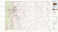
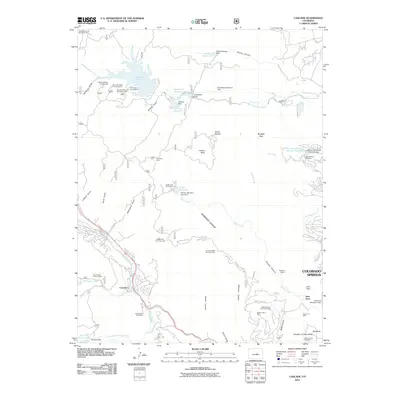 2011 Cascade2011 Print · USGSCovers Cascade, including Colorado Springs, El Paso County, and other nearby areas
 - 2013 Map of Cascade, 2013 Print
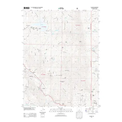 2013 Cascade2013 Print · USGSCovers Cascade, including Colorado Springs, El Paso County, and other nearby areas
 - 2016 Map of Cascade, 2016 Print
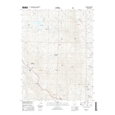 2016 Cascade2016 Print · USGSCovers Cascade, including Colorado Springs, El Paso County, and other nearby areas
 - 2019 Map of Cascade, 2019 Print
 2019 Cascade2019 Print · USGSCovers Cascade, including Colorado Springs, El Paso County, and other nearby areas
 - 2022 Map of Cascade, 2022 Print
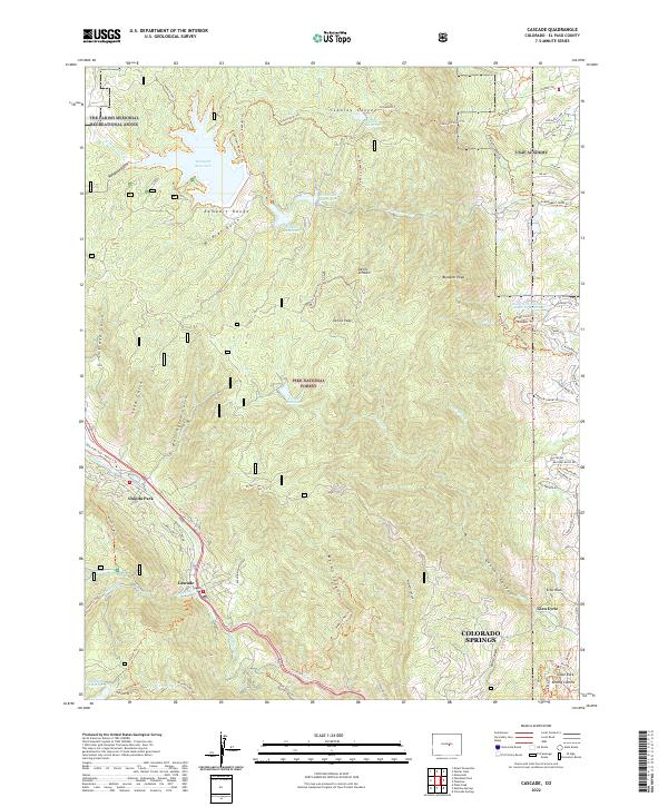 2022 Cascade2022 Print · USGSThe Front Range foothills meet the high peaks and military grounds of the Springs during the early twenty-first century. Genealogists and hikers can trace local routes through Chipita Park, Cascade, and the unique formations of Kissing Camels.
End of results
Showing maps 1-22 of 22
Top cities near Cascade
- Colorado Springs historical maps
- Fountain historical maps
- Woodland Park historical maps
- Manitou Springs historical maps
- Monument historical maps
- Palmer Lake historical maps
See more
Frequently asked questions
- What are the different types of historical maps available for Cascade?
- What is the oldest map of Cascade?
- Where can I purchase historical maps of Cascade for my home or office?
- Where can I download high-res historical maps of Cascade?
- Are there historical topographic maps available for Cascade?
- Is there historical aerial imagery available for Cascade?
- Where are historical maps of Cascade sourced from?