2020s Maps of Falcon, Colorado
Explore 2 historic maps of Falcon from the 2020s. These maps offer a rare glimpse into what life looked like during the 2020s — showing old roads, neighborhoods, homes, and landmarks that have changed or disappeared over time.
Whether you're researching your family's past, planning a metal detecting trip, or studying how Falcon's landscape evolved across the 2020s, these high-resolution maps are a powerful tool for exploring the history of this region.
- Focus on a specific era: All maps on this page are from the 2020s, giving you a focused view of this time period.
- See what’s changed: Compare century-old streets, trails, and buildings to today's modern landscape using overlays and satellite layers.
- Research with precision: Use these maps for genealogy, historical research, land use analysis, or educational projects.
- View, download, or print: Maps are fully viewable online in high resolution, and can be downloaded or printed for your own records.
Start exploring Falcon's history through authentic maps from the 2020s. This is your window into the past.
Falcon, CO maps
(2)- 2022 Map of Falcon NW, 2022 Print
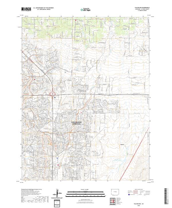 2022 Falcon NW2022 Print · USGSColorado Springs and its northeastern prairie fringes are documented here during a period of rapid suburban transformation. Researchers can trace the modern development of Shirley or follow the riparian corridors of Sand Creek and Banning Lewis Reservoir Number 1.
 - 2023 Map of Falcon, 2023 Print
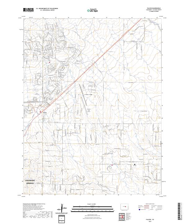 2023 Falcon2023 Print · USGSThe High Plains east of Colorado Springs are captured here in the early twenty-first century as the prairie transitions to residential life. Researchers can find Flynn Cem, trace the Rock Island Regional Trl, and explore the area around Falcon.
End of results
Showing maps 1-2 of 2
Top cities near Falcon
Frequently asked questions
- What are the different types of historical maps available for Falcon?
- What is the oldest map of Falcon?
- Where can I purchase historical maps of Falcon for my home or office?
- Where can I download high-res historical maps of Falcon?
- Are there historical topographic maps available for Falcon?
- Is there historical aerial imagery available for Falcon?
- Where are historical maps of Falcon sourced from?