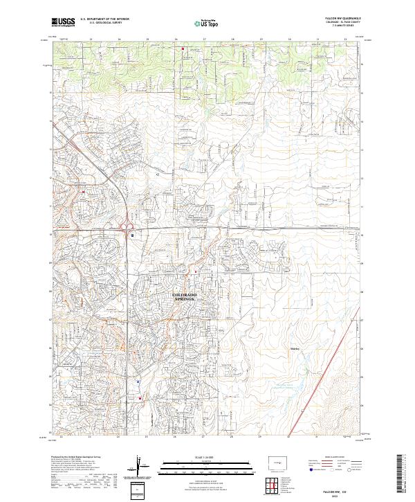
2022 Map of Falcon NW
USGS Topo · Published 2022About this map
Colorado Springs expanding into the high plains northeast of the city center defines the landscape of this 2022 survey. The topography is dominated by the drainage networks of Cottonwood Cr and Sand Creek, where modern residential developments like Cairngorm Way and Loch Fyne Ln are carved into the prairie. This area serves as a significant interface between urban density and open rangeland, characterized by a grid of older thoroughfares such as Burgess Rd and Old Ranch Rd.
Find a feature on this map
216 named features on this map. Tap any name to fly to it.
Don’t see what you’re looking for? This feature index may not catch every label — zoom into the map to look around manually.
Map Details
Editions of this 2022 Falcon NW Map
This is the sole edition of this map. No revisions or reprints were ever made.
Other maps of this area

1893 · Colorado Springs
USGS Topo · 1:125,000

1894 · Castle Rock
USGS Topo · 1:125,000

1909 · Colorado Springs
USGS Topo · 1:125,000

1913 · Castle Rock
USGS Topo · 1:125,000

1940 · Elbert
USGS Topo · 1:62,500

1942 · Colorado Springs
USGS Topo · 1:125,000

1944 · Elbert
USGS Topo · 1:62,500

1948 · Falcon
USGS Topo · 1:24,000

1948 · Colorado Springs
USGS Topo · 1:62,500

1948 · Pikeview
USGS Topo · 1:24,000