
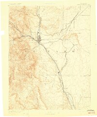
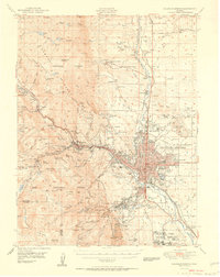
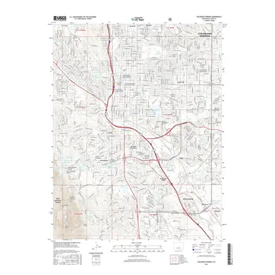
1948 Map of Colorado Springs
USGS Topo · Published 1957About this map
Colorado Springs and its surrounding foothills appear here in a post-war era of rapid regional transition. The map captures the city’s complex institutional history, showing major landmarks like the Modern Woodmen of America Sanatorium, the Cragmoor Sanatorium, and the Union Printers Home. The layout of the city reflects its status as a destination for health and leisure, with the famous Garden of the Gods and the high-elevation Broadmoor resort anchoring the western edge against the Rampart Range.
Find a feature on this map
124 named features on this map. Tap any name to fly to it.
Don’t see what you’re looking for? This feature index may not catch every label — zoom into the map to look around manually.
Map Details
Editions of this 1948 Colorado Springs Map
This is the sole edition of this map. No revisions or reprints were ever made.
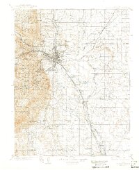
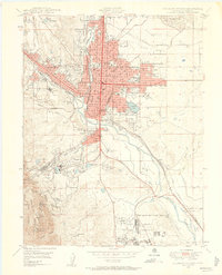
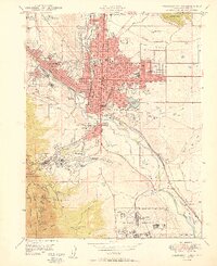
Historical Maps of Colorado Springs Through Time
14 maps found
1893 Colorado Springs
El Paso County, CO
1909 Colorado Springs
El Paso County, CO

1942 Colorado Springs
El Paso County, CO
1948 Colorado Springs
El Paso County, CO
1948 Colorado Springs
El Paso County, CO
1950 Colorado Springs
El Paso County, CO
1951 Colorado Springs
El Paso County, CO
1961 Colorado Springs
El Paso County, CO
1981 Colorado Springs
El Paso County, CO

2011 Colorado Springs
El Paso County, CO
2013 Colorado Springs
El Paso County, CO
2016 Colorado Springs
El Paso County, CO

2019 Colorado Springs
El Paso County, CO
2023 Colorado Springs
El Paso County, CO