Old Maps of Rock Creek Park, Colorado for Hiking & Exploration
Hike through history with 20 historic maps of Rock Creek Park. Explore old trails, ghost towns, and forgotten backroads — perfect for outdoor adventurers and local explorers.
- Rediscover forgotten places: Map out old mining camps, roads, and footpaths that no longer exist on modern maps.
- Layer with modern tools: Combine with LiDAR or satellite views to plan hikes through historical terrain.
- Made for exploration: Popular among hikers, overlanders, and local history lovers.
Use these maps to find adventure and explore the hidden past of Rock Creek Park.
Rock Creek Park, CO maps
(20)- 1893 Map of Colorado Springs, 1896 Print
 1893 Colorado Springs1896 Print · USGSEl Paso County at the end of the nineteenth century was a booming intersection of mountain tourism and heavy rail commerce. Researchers can trace early railroad alignments like the Colorado Midland Railroad and locate vanished stops at Franceville Junction or Bierstadt.2 unique versions available
 - 1909 Map of Colorado Springs
 1909 Colorado Springs1909 Print · USGSColorado Springs and the Front Range foothills are shown here at a pivotal era of rail expansion and early tourism. Genealogists and historians can trace defunct rail lines, rural schoolhouse locations like Grandview School, and landmarks such as the Cliff Dwellings and Burial Rocks.5 unique versions available
 - 1942 Map of Colorado Springs
 1942 Colorado Springs1942 Print · USGSColorado Springs and the Front Range appear here in the early years of the Second World War. Genealogists and historians can trace the rail corridors of the Chicago Rock Island and Pacific RR and locate sites like the Printers Home and Glen Eyrie.
 - 1948 Map of Cheyenne Mountain, 1959 Print
 1948 Cheyenne Mountain1959 Print · USGSEl Paso County at the end of the 1940s shows the post-war growth of Camp Carson alongside traditional ranching and academic retreats. You can trace the Military Reservation Boundary and locate the Iowa State College Camp or Hitch Rack Ranch.
 - 1948 Map of Mount Big Chief, 1964 Print
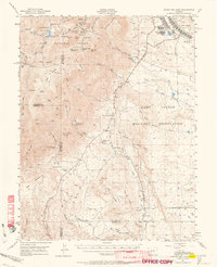 1948 Mount Big Chief1964 Print · USGSThe foothills and high peaks of the Front Range come alive in this post-war study of the area south of Colorado Springs. Genealogists and historians can trace the foundations of Camp Carson, search for family-named holdings like Avery Ranch, or locate vanished mountain schools such as Lytle School.2 unique versions available
 - 1949 Map of Cheyenne Mountain
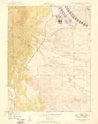 1949 Cheyenne Mountain1949 Print · USGSEl Paso County at the close of the 1940s reveals the strategic footprint of the Camp Carson complex against the foothills. Researchers can trace the layout of the Military Reservation, find collegiate outposts like the Iowa State College Camp, and locate private landmarks such as J L Ranch.2 unique versions available
 - 1951 Map of Mount Big Chief
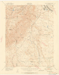 1951 Mount Big Chief1951 Print · USGSEl Paso and Fremont counties were undergoing a significant military expansion in the early fifties as CAMP CARSON grew into the mountains. Researchers can trace family ranching history at Turkey Creek Ranch or locate vanished rural education sites like Lytle School.2 unique versions available
 - 1954 Map of Pueblo, 1966 Print
 1954 Pueblo1966 Print · USGSMid-century Colorado comes alive in this survey of the Front Range and the high plains as the region expanded after the war. Genealogists and historians can trace family roots through rural landmarks like Hanover Church, Pioneer Cemetery, and the Grandview School.3 unique versions available
 - 1957 Map of Pueblo
 1957 Pueblo1957 Print · USGSMid-century Colorado comes alive as the Front Range urban centers expand alongside massive Cold War military installations. Genealogists and historians can trace the foundations of Stone City, rural sites like Hanover School, and the industrial Canon Imperial Mine.
 - 1958 Map of Pueblo
 1958 Pueblo1958 Print · USGSColorado's Front Range and Arkansas River Valley come alive in the late fifties, showing the transition from historic mining districts to major military and rail hubs. Genealogists and historians can trace family roots in ranching communities and find landmarks like Cripple Creek, Manitou, and the Hanover School.
 - 1961 Map of Cheyenne Mountain, 1963 Print
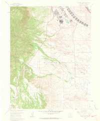 1961 Cheyenne Mountain1963 Print · USGSEl Paso County in the early sixties showcases the intersection of military expansion and Front Range wilderness. Trace the boundaries of the Fort Carson Military Reservation alongside landmarks like Hitch Rack Ranch and the Louisiana State University Camp.9 unique versions available
 - 1962 Map of Pueblo
 1962 Pueblo1962 Print · USGSThe Front Range and high plains meet in the early sixties as military installations and industrial mining shape the corridor from Colorado Springs to Pueblo. Genealogists can trace family names through rural landmarks like the Columbine School, Hanover Church, and Fairview Cem.
 - 1966 Map of Pueblo
 1966 Pueblo1966 Print · USGSThe Front Range and Arkansas River Valley are captured here in the mid-1960s, showing a landscape shaped by mining, military expansion, and rail. Researchers can locate numerous country schools and mines, such as the Lytle School, Pioneer Cem, and Empire Zinc Mine.
 - 1981 Map of Colorado Springs
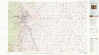 1981 Colorado Springs1981 Print · USGSColorado Springs and the Front Range were well established by the early eighties, showcasing a mix of military installations and mountain settlements. Genealogists and historians can trace the growth of Security and Widefield or locate remote points like Holtwold Store and Ellicott.2 unique versions available
 - 1989 Map of Pueblo
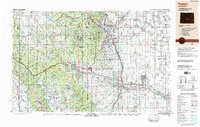 1989 Pueblo1989 Print · USGSIn the late eighties, the Colorado Front Range balanced its deep mining history with massive military expansion and water development. Researchers can trace the rail lines of the AT & SF RR or locate remote high-altitude settlements like Rosita and Querida.
 - 2011 Map of Cheyenne Mountain, 2011 Print
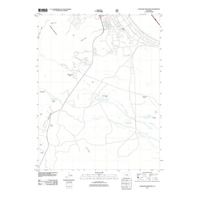 2011 Cheyenne Mountain2011 Print · USGSFort Carson and the rugged eastern slopes of the Rockies come into focus in this early twenty-first-century survey of the Colorado Springs area. Genealogists and historians can locate the Paupers' Cemetery, the Johnny Mine, and the Louisiana State University Camp.
 - 2013 Map of Cheyenne Mountain, 2013 Print
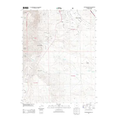 2013 Cheyenne Mountain2013 Print · USGSEl Paso County's high-altitude military and ranching landscape is captured here during the early twenty-first century. Researchers can trace the massive footprint of Fort Carson alongside family landmarks like the J L Ranch and the isolated Paupers Cem.
 - 2016 Map of Cheyenne Mountain, 2016 Print
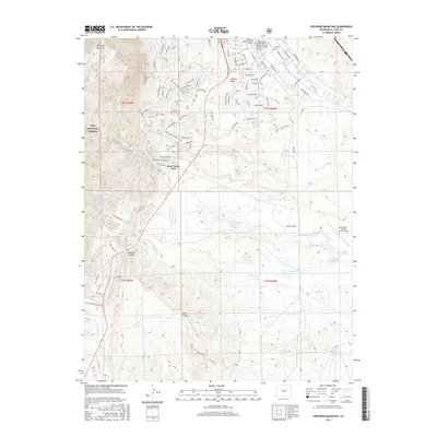 2016 Cheyenne Mountain2016 Print · USGSSouth of Colorado Springs in the mid-2010s, this area shows the intersection of mountain wilderness and military expansion. You can trace the rugged trails of Cheyenne Mountain or locate the Paupers Cem and Butts Army Airfield.
 - 2019 Map of Cheyenne Mountain, 2019 Print
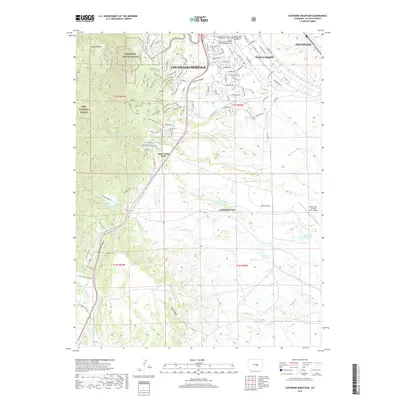 2019 Cheyenne Mountain2019 Print · USGSThe Front Range meets heavy military infrastructure in this El Paso County survey from 2019. Researchers can trace the perimeter of Cheyenne Mountain AFS and locate local landmarks like Paupers Cem and Rock Creek Park.
 - 2022 Map of Cheyenne Mountain, 2022 Print
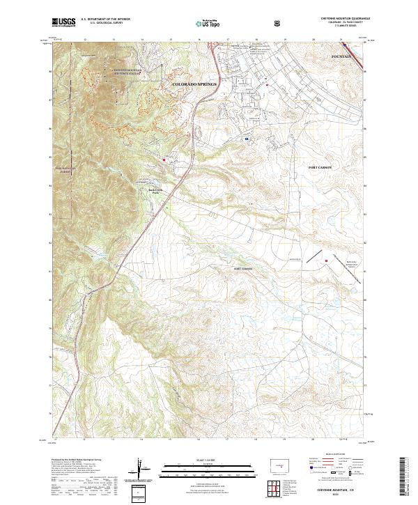 2022 Cheyenne Mountain2022 Print · USGSEl Paso County at the start of the 2020s shows a sophisticated landscape where military power and mountain recreation meet. Researchers can trace the perimeter of Cheyenne Mountain Air Force Station or locate landmarks like Butts Army Airfield and the Keeton Reservoir.
End of results
Showing maps 1-20 of 20
Top cities near Rock Creek Park
- Colorado Springs historical maps
- Fountain historical maps
- Manitou Springs historical maps
- Green Mountain Falls historical maps
Frequently asked questions
- What are the different types of historical maps available for Rock Creek Park?
- What is the oldest map of Rock Creek Park?
- Where can I purchase historical maps of Rock Creek Park for my home or office?
- Where can I download high-res historical maps of Rock Creek Park?
- Are there historical topographic maps available for Rock Creek Park?
- Is there historical aerial imagery available for Rock Creek Park?
- Where are historical maps of Rock Creek Park sourced from?