Old Maps of East Portal Distributed Camping Area, Colorado for Academic Research
Study the evolution of East Portal Distributed Camping Area with 22 high-resolution historic maps. Whether you're teaching, researching, or modeling changes in land use, these maps provide essential visual documentation of urban, environmental, and geographic change.
- Analyze long-term change: Track patterns in development, transportation, and natural features.
- Ideal for environmental or urban studies: Support academic projects with primary historical map data.
- Use in the classroom or lab: Educators and researchers rely on these maps to bring historical context to life.
These maps are a powerful tool for teaching, research, and visualizing how East Portal Distributed Camping Area has changed over the decades.
East Portal Distributed Camping Area, CO maps
(22)- 1905 Map of Central City
 1905 Central City1905 Print · USGSThe Colorado Front Range is captured here at the peak of its early mining era, showing the dense network of gulches and camps. Trace historic mining operations at Central City, follow the high-mountain route of the Denver Northwestern and Pacific RR, or locate vanished settlements like Baltimore and Perigo.
 - 1910 Map of Central City, 1957 Print
 1910 Central City1957 Print · USGSThe Colorado high country at the start of the century reveals a landscape defined by mining booms and engineering marvels. Trace the intricate rail networks of the Colorado Southern RR or locate family roots in the historic camps of Nevadaville and Central City.2 unique versions available
 - 1912 Map of Central City
 1912 Central City1912 Print · USGSThe Colorado Front Range mining districts were in full operation during this era of deep-shaft extraction and mountain railroading. Researchers can trace the industrial footprint of Central City, locate the Boulder County Mine, and follow the path of the Colorado and Southern RR through the gulches.4 unique versions available
 - 1942 Map of Nederland, 1954 Print
 1942 Nederland1954 Print · USGSThe Colorado Front Range comes alive in the early 1940s, showing the intersection of high-mountain mining and railroad engineering. Genealogists and historians can trace the foundations of Nederland, the old mining works at Caribou, and the tracks of the Denver and Salt Lake near Tolland.6 unique versions available
 - 1944 Map of Nederland
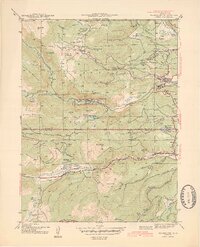 1944 Nederland1944 Print · USGSNederland and the mining districts of Boulder and Gilpin Counties are shown here during the early 1940s. Genealogists and historians can trace the legacy of high-country industry through the Denver and Salt Lake rail line and sites like the Zarlengo Saw Mill or Caribou.2 unique versions available
 - 1953 Map of Denver, 1964 Print
 1953 Denver1964 Print · USGSDenver and the Colorado Front Range are captured here during a decade of post-war growth and military expansion. Researchers can trace the sprawling rail lines of the Union Pacific, locate the State Capitol, and explore historic mountain mining hubs like Central City.6 unique versions available
 - 1957 Map of Denver
 1957 Denver1957 Print · USGSDenver and the Colorado Front Range are seen here during a mid-century period of intense military and urban expansion. Trace the footprints of the Rocky Mountain Arsenal, the early United States Air Force Academy, and the Lowry AF Base.
 - 1958 Map of Denver
 1958 Denver1958 Print · USGSDenver and the Colorado Front Range are captured here during the mid-century suburban boom. Trace the footprints of military installations like Buckley Air Force Base alongside the established rail networks of the Colorado & Southern Ry.
 - 1958 Map of East Portal, 1960 Print
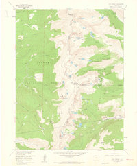 1958 East Portal1960 Print · USGSThe Continental Divide and the high passes of the Front Range are captured here in the late fifties as the rail landscape was maturing. Trace the historic Old Railroad Grade past Corona and the engineering of the Moffat Tunnel at East Portal.10 unique versions available
 - 1960 Map of Denver
 1960 Denver1960 Print · USGSDenver and the Colorado Front Range are seen here at a pivotal moment of postwar expansion into the plains and foothills. Researchers can trace the mid-century rail network of the Denver & Rio Grande Western RR and locate historic institutional landmarks like Buckley Field and the Colorado School of Mines.
 - 1972 Map of Nederland, 1976 Print
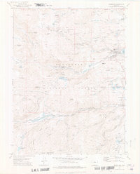 1972 Nederland1976 Print · USGSIn the early 1970s, the mountain towns of Boulder and Gilpin Counties balanced their silver mining past with new recreational growth. Trace old railroad grades along the Denver and Rio Grande Western or locate historic diggings like the Caribou mines and Early Bird Mine.3 unique versions available
 - 1983 Map of Denver West
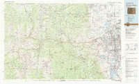 1983 Denver West1983 Print · USGSThe Front Range and Denver's western suburbs meet in the early 1980s, documenting the era's growth from the mountain peaks to the valley floor. Genealogists and historians can trace the foundations of Lakewood and Golden, or locate high-altitude landmarks like the Moffat Tunnel and Mount Olivet Cem.2 unique versions available
 - 2011 Map of East Portal, 2011 Print
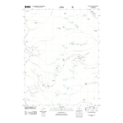 2011 East Portal2011 Print · USGSHigh in the Colorado Rockies during the early twenty-first century, this landscape reveals a complex history of alpine engineering and mining. Trace the path of the Moffat Tunnel and the historic route over Rollins Pass, while locating old workings like the Mountain Goat Mine.
 - 2011 Map of Nederland, 2011 Print
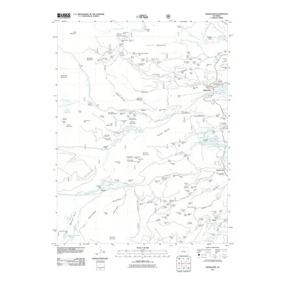 2011 Nederland2011 Print · USGSBoulder County's high-country mining and recreation hubs are well-documented in this early 21st-century survey. Genealogists and historians can trace industrial roots at the Caribou Shaft or locate families in Nederland and the Rollinsville Main Post Office.
 - 2013 Map of East Portal, 2013 Print
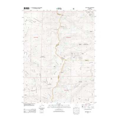 2013 East Portal2013 Print · USGSThe high alpine divide of the Front Range comes into focus in this 2010s survey of the railroad corridor through the mountains. Researchers can trace the path of the Moffat Tunnel and the high-altitude Rollins Pass near landmarks like Riflesight Notch and East Portal.
 - 2013 Map of Nederland, 2013 Print
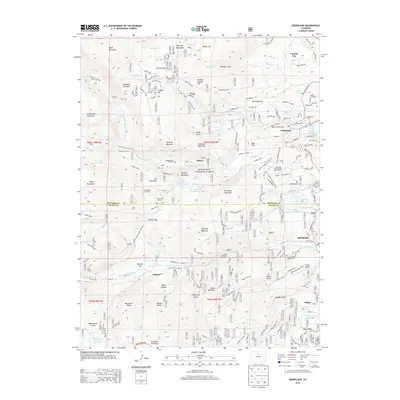 2013 Nederland2013 Print · USGSThe Colorado high country near Nederland is documented here during a period of modern scientific study and historical preservation. Genealogists and historians can trace the foundations of Caribou City and Rollinsville, or locate the Enterprise Mine and Nederland Cem among the peaks.
 - 2016 Map of East Portal, 2016 Print
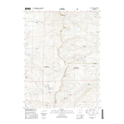 2016 East Portal2016 Print · USGSThe high passes of the Colorado Front Range are documented here in the mid-2010s, focusing on the historic rail corridor at the Continental Divide. Researchers can trace the path of the Moffat Tunnel at East Portal or the winding Moffat Road as it climbs toward Rollins Pass.
 - 2016 Map of Nederland, 2016 Print
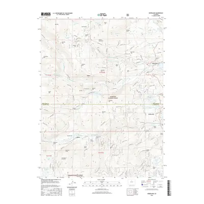 2016 Nederland2016 Print · USGSThe Colorado Front Range is captured here in 2016, showing the high-altitude communities of Nederland and Eldora amidst a legacy of silver mining. Researchers can trace historic routes like Moffat Road and locate sites such as the Anchor Mine or the Nederland Cem.
 - 2019 Map of Nederland, 2019 Print
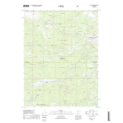 2019 Nederland2019 Print · USGSNederland and the surrounding Front Range peaks appear in this recent survey, showcasing a landscape shaped by mining history and modern mountain life. Researchers can locate legacy sites like the Anchor Mine or trace the routes through Eldora and Rollinsville.
 - 2019 Map of East Portal, 2019 Print
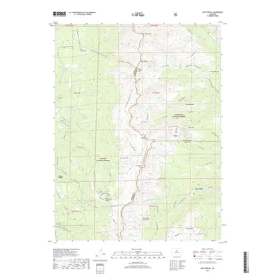 2019 East Portal2019 Print · USGSThe High Rockies at the Continental Divide are shown here during the late 2010s as they span the boundary of three counties. You can trace the historic Moffat Road and its landmarks, including the Riflesight Trestle and the Needle Eye Tunnel.
 - 2022 Map of Nederland, 2022 Print
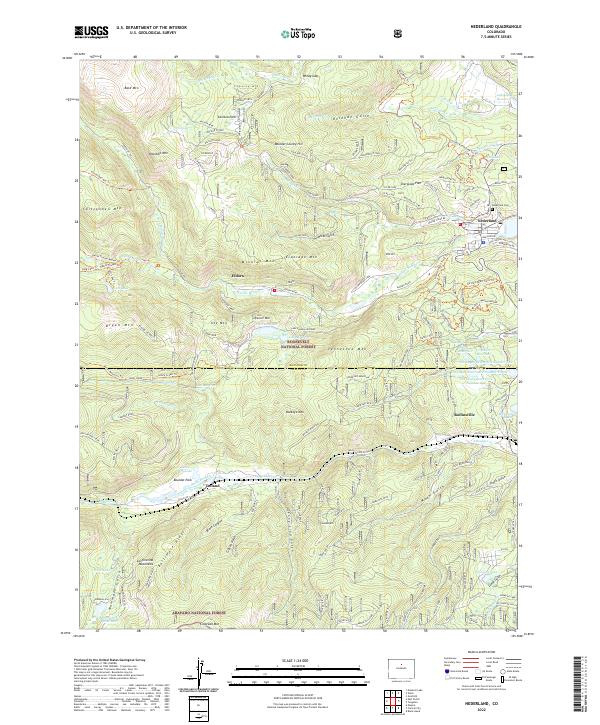 2022 Nederland2022 Print · USGSHigh in the Front Range during the early twenty-first century, this area reveals the enduring legacy of mining and the development of mountain towns. Researchers can trace historic routes like Moffat Road and locate sites from Nederland Cemetery to the Anchor Mine.
 - 2022 Map of East Portal, 2022 Print
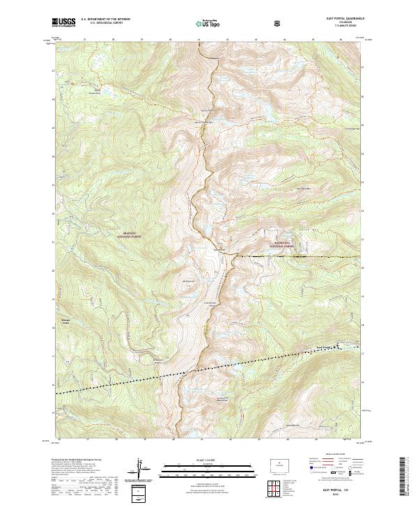 2022 East Portal2022 Print · USGSThe Continental Divide crossing at Rollins Pass is captured here in the early twenty-first century. Rail historians and hikers can trace the original route of the Moffat Road and the Moffat Tunnel near East Portal and Riflesight Notch.
End of results
Showing maps 1-22 of 22
Top cities near East Portal Distributed Camping Area
- Idaho Springs historical maps
- Nederland historical maps
- Georgetown historical maps
- Fraser historical maps
- Tabernash historical maps
- Empire historical maps
See more
Frequently asked questions
- What are the different types of historical maps available for East Portal Distributed Camping Area?
- What is the oldest map of East Portal Distributed Camping Area?
- Where can I purchase historical maps of East Portal Distributed Camping Area for my home or office?
- Where can I download high-res historical maps of East Portal Distributed Camping Area?
- Are there historical topographic maps available for East Portal Distributed Camping Area?
- Is there historical aerial imagery available for East Portal Distributed Camping Area?
- Where are historical maps of East Portal Distributed Camping Area sourced from?