
1912 Map of Central City
USGS Topo · Published 1912About this map
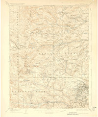
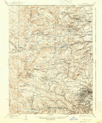
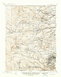
Central City and the surrounding mining districts of Gilpin and Boulder Counties are captured here during a period of significant industrial activity. The landscape is a dense network of high-altitude settlements and infrastructure, including the Boulder County Mine and an extensive Aerial Tramway near Lawson. Beyond the major hubs like Nevadaville and Russell Gulch, the map reveals smaller work camps and remote post offices such as Bald Mountain P O.
Find a feature on this map
185 named features on this map. Tap any name to fly to it.
Don’t see what you’re looking for? This feature index may not catch every label — zoom into the map to look around manually.
Map Details
Editions of this 1912 Central City Map
4 editions found
Other maps of this area

1899 · West Denver
USGS Topo · 1:125,000

1902 · Boulder
USGS Topo · 1:62,500

1903 · Georgetown
USGS Topo · 1:62,500

1904 · Boulder
USGS Topo · 1:62,500

1905 · Central City
USGS Topo · 1:62,500

1905 · Georgetown
USGS Topo · 1:62,500

1906 · Blackhawk
USGS Topo · 1:62,500

1910 · Central City
USGS Topo · 1:62,500

1915 · Longs Peak
USGS Topo · 1:125,000

1919 · Rocky Mountain National Park
USGS Topo · 1:125,000