Old Maps of Gunnison, Colorado
Explore 11 old maps of Gunnison, spanning from 1954 to today. These high-resolution historic maps reveal how streets, neighborhoods, landmarks, and natural features evolved over time — perfect for genealogy, metal detecting, research, and local history exploration.
What you can do with these maps:
- See how Gunnison changed over time: Compare historical maps to modern-day views to trace roads, homesites, rail lines & more.
- View detailed metadata: Each map includes creators, publishers, year, scale, and archive source.
- Overlay maps with satellite & LiDAR: Visualize the past alongside modern tools to explore terrain & human change.
- Trusted historical sources: Maps sourced from the USGS, Library of Congress, and other archives.
- Access maps your way: View online, download high-res files, or order prints for personal or research use.
Start exploring old maps of Gunnison to uncover forgotten places, hidden landmarks, and the deep history beneath your feet.
Gunnison, CO maps
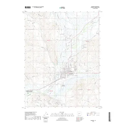
(11)- 1954 Map of Gunnison, 1955 Print
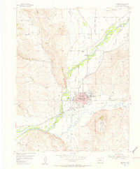 1954 Gunnison1955 Print · USGSMid-century Gunnison thrives at the confluence of the river and Tomichi Creek as a center for education and ranching. Genealogists can trace family landmarks like Thornton Ranch or McCabe Ranch, and locate the Paragon Sch (Aban) and Gunnison Cemetery.5 unique versions available
 - 1956 Map of Montrose, 1963 Print
 1956 Montrose1963 Print · USGSThe Colorado western slope in the late fifties and early sixties shows a landscape defined by the Denver & Rio Grande Western RR and the Gunnison River. Trace the development of Blue Mesa Reservoir or locate high-country sites like the Bachelor Mine.3 unique versions available
 - 1959 Map of Montrose
 1959 Montrose1959 Print · USGSWestern Colorado in the late fifties is defined by the high peaks and river valleys of the Southern Rockies. Genealogists and historians can trace the paths of the Denver & Rio Grande Western RR or locate mountain settlements like Crawford, Lazear, and Doyleville.
 - 1960 Map of Montrose
 1960 Montrose1960 Print · USGSThe Colorado high country in the mid-fifties is captured here during a period of steady ranching and persistent mining. Researchers can trace the path of the Denver & Rio Grande Western RR or locate small settlements like Somerset, Maher, and Sargent.2 unique versions available
 - 1968 Map of Montrose
 1968 Montrose1968 Print · USGSThe Western Slope and Continental Divide meet in the late sixties, showing the vital river valleys and high-mountain mining districts. Trace the historic route of the Denver and Rio Grande Western RR or locate small settlements like Sargents and Powderhorn.
 - 1984 Map of Gunnison
 1984 Gunnison1984 Print · USGSHigh mountain passes and historic mining districts define this mid-eighties record of the central Colorado Rockies. Genealogists and historians can trace the foundations of Gunnison and Crested Butte or locate remote sites like St Elmo, Tincup, and Hancock.2 unique versions available
 - 2010 Map of Gunnison, 2010 Print
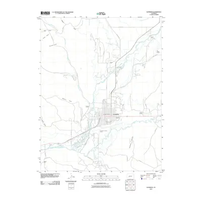 2010 Gunnison2010 Print · USGSCovers Gunnison, including Gunnison County, United States, and other nearby areas
 - 2013 Map of Gunnison, 2013 Print
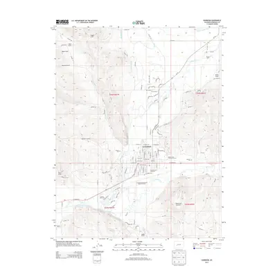 2013 Gunnison2013 Print · USGSCovers Gunnison, including Gunnison County, United States, and other nearby areas
 - 2016 Map of Gunnison, 2016 Print
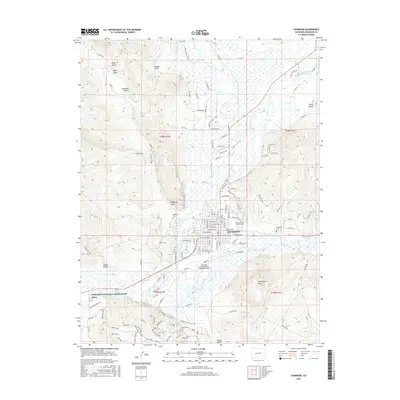 2016 Gunnison2016 Print · USGSCovers Gunnison, including Gunnison County, United States, and other nearby areas
 - 2019 Map of Gunnison, 2019 Print
 2019 Gunnison2019 Print · USGSCovers Gunnison, including Gunnison County, United States, and other nearby areas
 - 2022 Map of Gunnison, 2022 Print
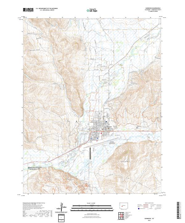 2022 Gunnison2022 Print · USGSGunnison thrives as a mountain crossroads and university center during the early twenty-first century. Researchers can trace the town grid from the Gunnison County Courthouse to the campus of Western Colorado University and the Gunnison-Crested Butte Regional Airport.
End of results
Showing maps 1-11 of 11
Frequently asked questions
- What are the different types of historical maps available for Gunnison?
- What is the oldest map of Gunnison?
- Where can I purchase historical maps of Gunnison for my home or office?
- Where can I download high-res historical maps of Gunnison?
- Are there historical topographic maps available for Gunnison?
- Is there historical aerial imagery available for Gunnison?
- Where are historical maps of Gunnison sourced from?